Enable Location

We need your location to show you interesting places around you

Discover nearby places

Find interesting locations and hidden gems around you

Precise directions

Get accurate directions and distances to places

Your location is never shared with other users. It's only used when you tap the location button.

Col des Aravis

Log in to your account

Start exploring — it's free

Trusted by 65,420 travelers worldwide

Continue with Google
Continue with Apple
or

We will send you a code to connect

By continuing, you accept our Terms and Conditions and our Privacy Policy

Check your inbox

We've sent a pincode in your inbox. Please enter the code below.

Col des Aravis
Discussion Reviews 3 Photos
9.3k Popularity

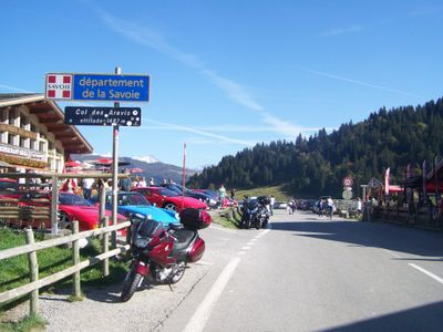
Col des Aravis, Mountain pass in Haute-Savoie, France

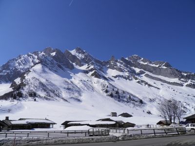
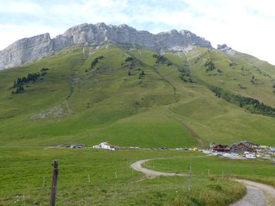
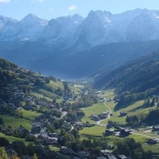
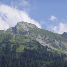
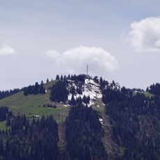
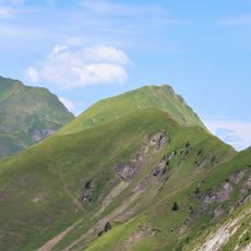
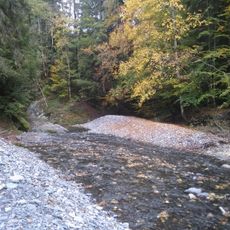
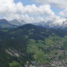
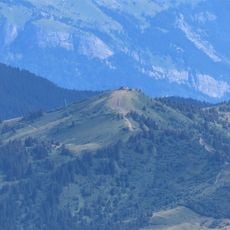
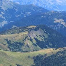
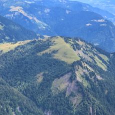
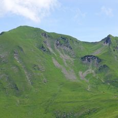
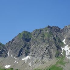
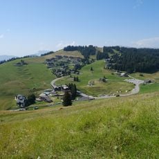
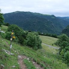
The Col des Aravis is a mountain pass in the French Alps that links La Clusaz and La Giettaz via a winding paved road at roughly 1,500 meters elevation. The route follows the ridge with multiple hairpin turns and varying gradients, making the crossing a technically demanding drive.

The road across this pass was developed after World War Two and has regularly featured in the Tour de France starting in the 1940s. It became an iconic stage for cycling fans and shaped the region's identity.

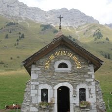
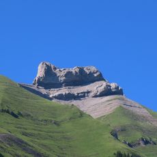
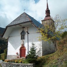
A small chapel dedicated to Saint Anne sits at the summit, serving as a quiet reminder of the crossing's spiritual significance for travelers through the centuries. Visitors today find it a place where the practical needs of mountain travel meet a deeper sense of respect for the landscape.

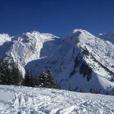
The road requires careful driving, especially during peak summer traffic and in poor weather conditions. Good tires and cautious driving are essential to handle the numerous curves safely.

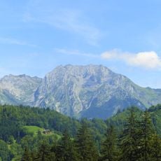
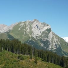
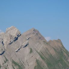
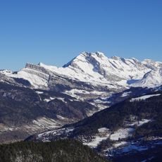
On clear days, Mont Blanc rises visibly above the neighboring peaks from the summit, creating a memorable sight for visitors. This view often becomes the reward that makes the steep climb worthwhile for many travelers.

The community of curious travelers

AroundUs brings together thousands of curated places, local tips, and hidden gems, enriched daily by 60,000 contributors worldwide.

Start exploring
Location
Location
Elevation above the sea
1,486 m
Part of
Route des Grandes Alpes
GPS coordinates
45.87227,6.46487
Latest update
December 10, 2025 15:58
Reviews
Share your experience

No review yet

Discussions
Start a discussion...

No discussion yet

« Col des Aravis - Mountain pass in Haute-Savoie, France » is provided by Around Us (aroundus.com). Images and texts are derived from Wikimedia project under a Creative Commons license. You are allowed to copy, distribute, and modify copies of this page, under the conditions set by the license, as long as this note is clearly visible.

Discover hidden gems everywhere you go!

From secret cafés to breathtaking viewpoints, skip the crowded tourist spots and find places that match your style. Our app makes it easy with voice search, smart filtering, route optimization, and insider tips from travelers worldwide. Download now for the complete mobile experience.

Around Us App Screenshot

A unique approach to discovering new places

Le Figaro

All the places worth exploring

France Info

A tailor-made excursion in just a few clicks

20 Minutes

Around Us
Travel Guide & Maps
Download

Send to your phone

QR Code
1

Open the camera app on your mobile.

2

Point at the QR code with your camera. A notification will appear.

3

Tap the notification to open the link.