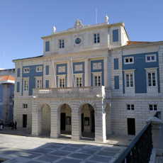
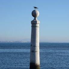
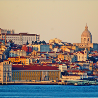
Estremadura, Historical province in central Portugal
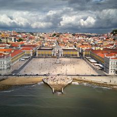
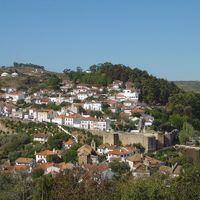
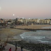
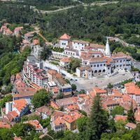
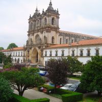
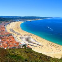
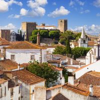
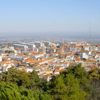
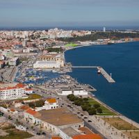
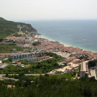
Estremadura is a former province in central Portugal stretching along the Atlantic coast from Lisbon to Leiria with diverse landscapes including limestone hills and river valleys. The territory was divided into the districts of Lisbon, Santarém, Leiria, and parts of Setúbal before its administrative reorganization in 1933.
The name Estremadura comes from Extrema Durii, referring to lands farthest from the Douro River during the 12th century Reconquista. The province ceased to exist as an administrative division in the 20th century when Portugal reorganized its territorial divisions.
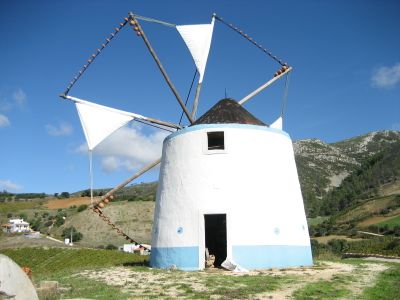
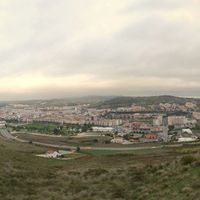
The region still shows strong ties to agriculture, with vineyards scattered across the Torres areas and corn fields filling the river valleys. These farming practices shape how the landscape looks and how people live there today.
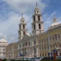
The former province now encompasses several modern districts, each with different access points and services since the region was administratively dissolved. Those interested in exploring the historical Estremadura should focus on the coastal towns and river valleys where the landscape features are most evident.
The region has distinct geological features with sandstone and volcanic rocks rather than the typical granite formations found elsewhere in Iberia. This composition shapes the structure of its hills and valleys and adds to the variety of the landscape.
The community of curious travelers
AroundUs brings together thousands of curated places, local tips, and hidden gems, enriched daily by 60,000 contributors worldwide.