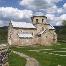
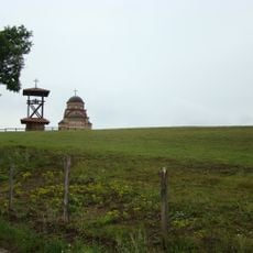
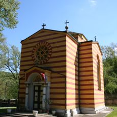
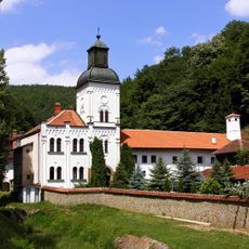
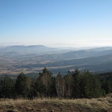
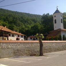
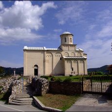
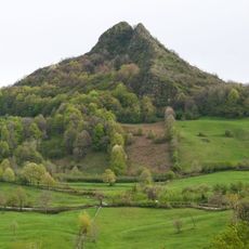
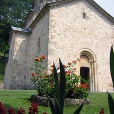
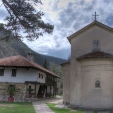
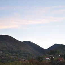
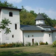
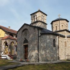
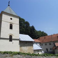
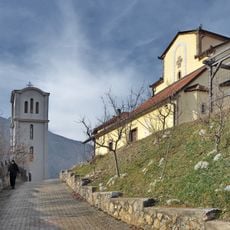
Moravica Administrative District, District of Serbia
Website: http://moravickiupravniokrug.org
GPS coordinates: 43.77213,20.32937
Latest update: March 3, 2025 04:33
Studenica monastery
35.7 km
Žiča
26.9 km
Maglič
24.4 km
Gradac Monastery
48.2 km
Ravna Gora
40.9 km
Ribnica Monastery
54.2 km
Mount Rajac
41.4 km
Vraćevšnica monastery
39.5 km
Maljen
45.9 km
Vujan Monastery
25 km
Saint Achillius Church
18.9 km
Special Nature Reserve Uvac
55.1 km
Sretenje Monastery
17 km
Međuvršje Lake
18.5 km
Blagoveštenje Monastery
18.1 km
Ostrvica
45.4 km
Monastery of Holy Trinity
17 km
Nikolje Kablarsko Monastery
18.3 km
Jelica
3.5 km
Petnica Cave
61.4 km
Monasterio de Preobraženje
18.1 km
Vavedenje Monastery
16.1 km
Stjenik Monestery
5.2 km
Voljavča Monastery
46.3 km
Monastery Jovanje
17.9 km
Blagoveštenje Rudničko Monastery
46.5 km
Uspenje Monastery
17.9 km
House of Serbian-Norwegian friendship
29.8 kmReviews
Visited this place? Tap the stars to rate it and share your experience / photos with the community! Try now! You can cancel it anytime.
Discover hidden gems everywhere you go!
From secret cafés to breathtaking viewpoints, skip the crowded tourist spots and find places that match your style. Our app makes it easy with voice search, smart filtering, route optimization, and insider tips from travelers worldwide. Download now for the complete mobile experience.
A unique approach to discovering new places❞
— Le Figaro
All the places worth exploring❞
— France Info
A tailor-made excursion in just a few clicks❞
— 20 Minutes