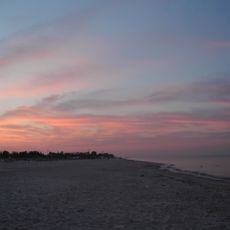
Kherson Oblast, Administrative region in southern Ukraine
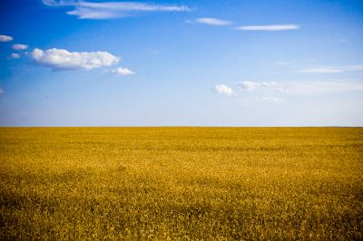
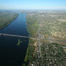
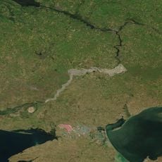
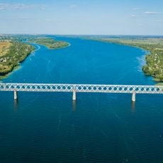
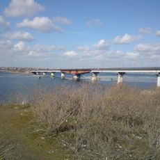
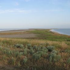
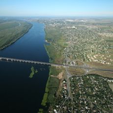
Kherson Oblast covers a wide stretch of southern Ukraine along the Dnipro River and the Black Sea coast, where fields, flat grasslands, and wetlands alternate across open terrain. The land feels wide and often empty, broken only by small villages, irrigation channels, and scattered tree lines near the water.
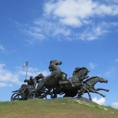
The area became an official oblast in March 1944, after passing through different hands and suffering heavily during World War II. Following the collapse of the Soviet Union in 1991, it became part of independent Ukraine and has remained shaped by political tensions ever since.
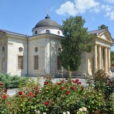
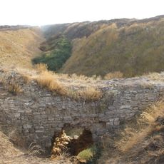
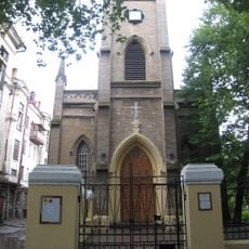
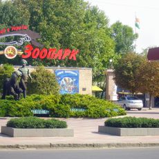
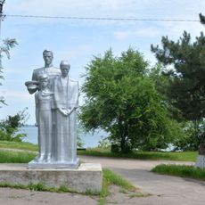
The region takes its name from an old fortress port founded here in the late 18th century under Catherine the Great. You can see the mix of communities in the churches with gold domes, local markets selling homegrown watermelons and melons, and small coffeehouses where people gather and talk.
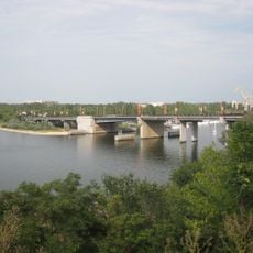
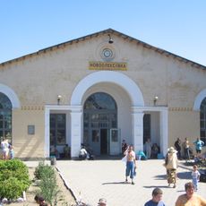
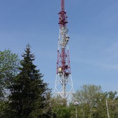
Roads and railways link the coastal ports with inland areas, running mostly flat through the open landscape. If you travel here, expect long distances and few fuel stations or restaurants outside the towns.
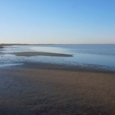
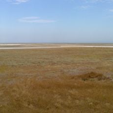
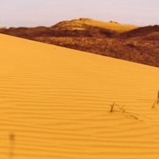
Within the territory lies a sand expanse known as Oleshky Sands, sometimes compared to a desert. It covers more than 150 square kilometers (58 square miles) and forms an unusual terrain amid the moist plains and river landscapes around it.
The community of curious travelers
AroundUs brings together thousands of curated places, local tips, and hidden gems, enriched daily by 60,000 contributors worldwide.