Enable Location

We need your location to show you interesting places around you

Discover nearby places

Find interesting locations and hidden gems around you

Precise directions

Get accurate directions and distances to places

Your location is never shared with other users. It's only used when you tap the location button.

Sevier County

Log in to your account

Start exploring — it's free

Trusted by 62,461 travelers worldwide

Continue with Google
Continue with Apple
or

We will send you a code to connect

By continuing, you accept our Terms and Conditions and our Privacy Policy

Check your inbox

We've sent a pincode in your inbox. Please enter the code below.

Sevier County, Administrative division in Tennessee, United States

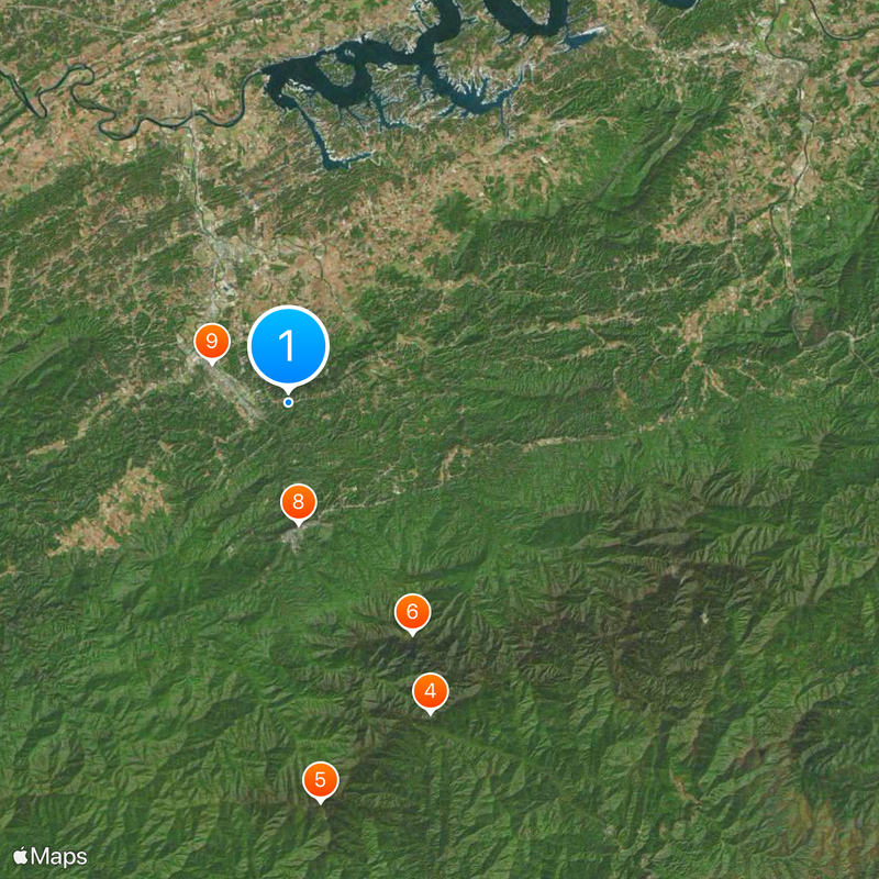
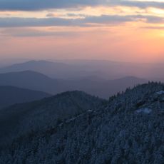
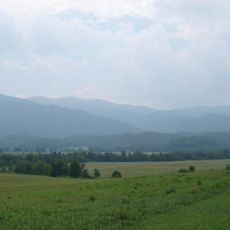
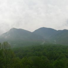
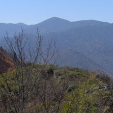
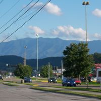
Sevier County is an administrative unit in Tennessee stretching between the valleys of the Little Pigeon River and the forested slopes of the Appalachians. The landscape shifts from rolling hills in the north to rugged mountain ridges in the south, where terrain rises steeply toward the state line with North Carolina.

The administrative unit was formed in September 1794 from territory previously part of Jefferson County and named after John Sevier, a frontiersman and first governor. European settlers began arriving in the late 18th century after diplomatic treaties with the Cherokee opened the land for colonization.

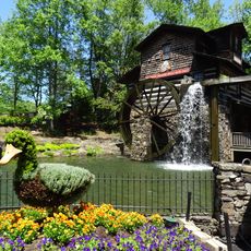
The area was originally inhabited by Cherokee people, whose influence appears today in place names and scattered memorials. Many residents preserve craft traditions such as quilting and wood carving, visible in museums and small shops along main roads.

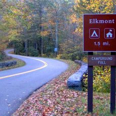
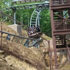
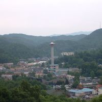
Travelers reach the area through several highways winding through valleys and mountain passes. Free shuttle buses run between parking lots and popular trailheads in the national park, especially on weekends and during peak season.

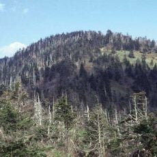
The administrative boundaries have remained unchanged since formation in the 18th century, rare among counties in this region. Elevation differences within the territory range from about 900 feet (270 m) above sea level in the valleys to over 6,500 feet (1,980 m) on the peaks, creating distinct climate zones.

The community of curious travelers

AroundUs brings together thousands of curated places, local tips, and hidden gems, enriched daily by 60,000 contributors worldwide.

Start exploring
Location
Inception
September 28, 1794
Capital city
Sevierville
Shares border with
Jefferson County, Swain County, Cocke County, Haywood County, Blount County, Knox County
GPS coordinates
35.78000,-83.52000
Latest update
December 13, 2025 18:19
« Sevier County - Administrative division in Tennessee, United States » is provided by Around Us (aroundus.com). Images and texts are derived from Wikimedia project under a Creative Commons license. You are allowed to copy, distribute, and modify copies of this page, under the conditions set by the license, as long as this note is clearly visible.

Discover hidden gems everywhere you go!

From secret cafés to breathtaking viewpoints, skip the crowded tourist spots and find places that match your style. Our app makes it easy with voice search, smart filtering, route optimization, and insider tips from travelers worldwide. Download now for the complete mobile experience.

Around Us App Screenshot

A unique approach to discovering new places

Le Figaro

All the places worth exploring

France Info

A tailor-made excursion in just a few clicks

20 Minutes

Around Us
Travel Guide & Maps
Download

Send to your phone

QR Code
1

Open the camera app on your mobile.

2

Point at the QR code with your camera. A notification will appear.

3

Tap the notification to open the link.