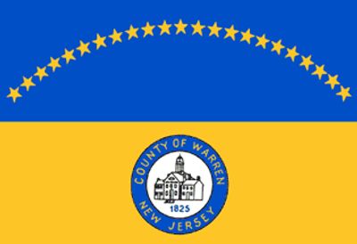
Warren County, Administrative division in northwestern New Jersey, United States
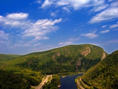
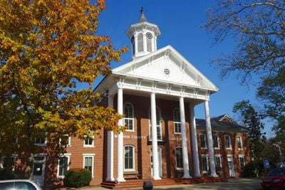
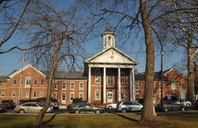
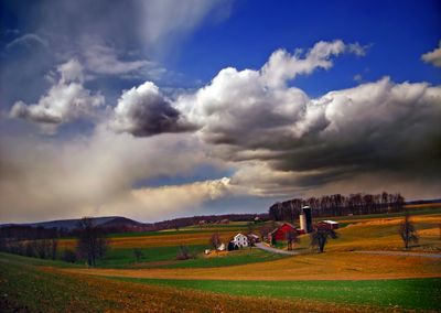
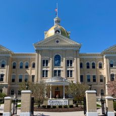
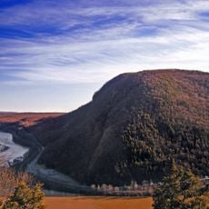
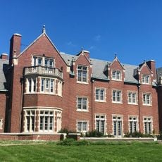
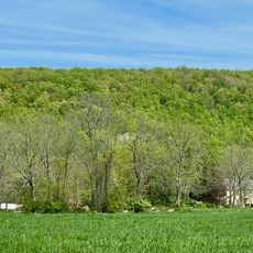
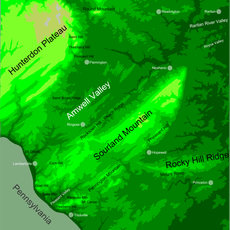
Warren County is an administrative division in northwestern New Jersey that spans approximately 362 square miles along the Delaware River, offering a mix of suburban communities and agricultural landscapes. The region comprises various small towns and villages, with Belvidere serving as the county seat and administrative center.
The county was established in 1824 from portions of Sussex County and named after Dr. Joseph Warren, a general who died at the Battle of Bunker Hill. This naming honored an important Revolutionary War leader from Massachusetts.
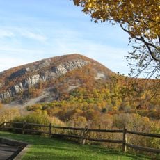
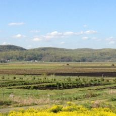
The area maintains strong agricultural traditions through farmers markets and community events that connect residents with local food production and rural heritage.
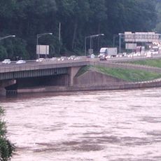
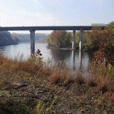
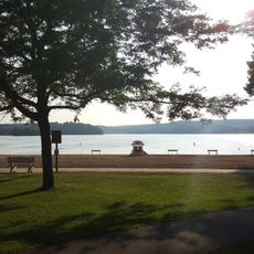
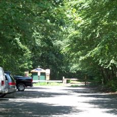
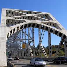
Interstate 78 crosses through the region and connects residents to neighboring Pennsylvania and New York. Access to various landscapes, waterways, and community facilities is distributed throughout the entire area.
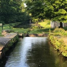
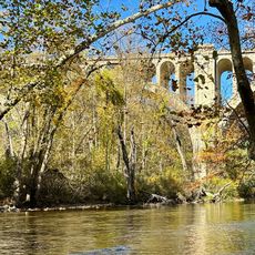
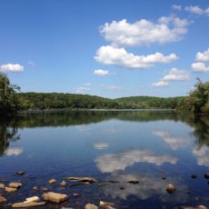
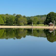
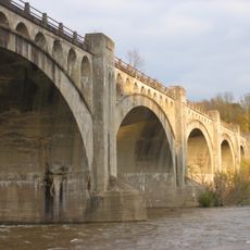
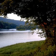
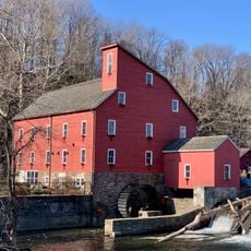
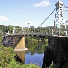
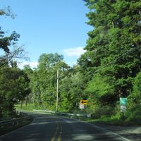
The Paulinskill and Pequest rivers flow through the area and form natural corridors for fishing and outdoor activities. These waterways are known for hosting different fish species throughout all seasons.
The community of curious travelers
AroundUs brings together thousands of curated places, local tips, and hidden gems, enriched daily by 60,000 contributors worldwide.