
Lycoming County, Administrative county in Pennsylvania, United States
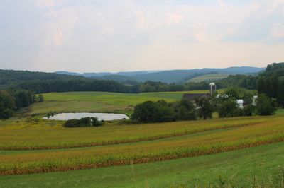
Lycoming County spans 1,244 square miles across north-central Pennsylvania, with the West Branch Susquehanna River flowing through mountainous terrain and valleys.
The territory, established in 1795 from Northumberland County, started with three log cabins in Muncy in 1761 and expanded through European settlements.
The Lycoming Presbyterian Church, constructed in 1786, stands as the first religious structure in the county, marking early community development.
The county government provides residents with LycoMap service for accessing public maps, voter locations, and flood information through digital platforms.
From March 2024, Lycoming County implements a battery recycling program through Resource Management Services, advancing environmental preservation efforts.
Location: Pennsylvania
Inception: April 13, 1795
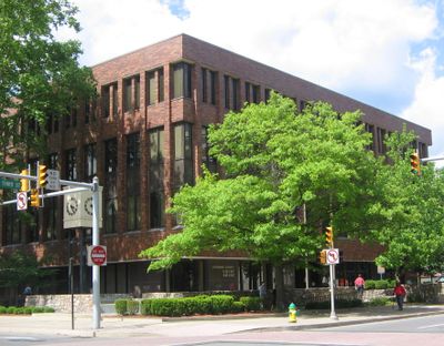
Capital city: Williamsport
Shares border with: Potter County, Tioga County, Bradford County, Sullivan County, Columbia County, Montour County, Northumberland County, Union County, Clinton County
Website: http://lyco.org
GPS coordinates: 41.35000,-77.06000
Latest update: May 27, 2025 06:51
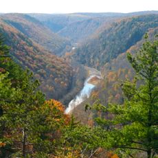
Pine Creek Gorge
24 km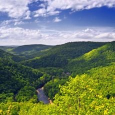
Worlds End State Park
43.2 km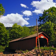
Sonestown Covered Bridge
42.2 km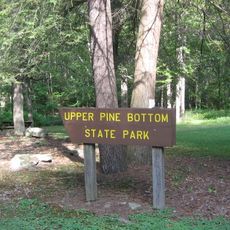
Upper Pine Bottom State Park
30.4 km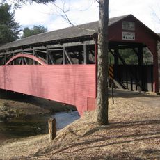
Cogan House Covered Bridge
12.9 km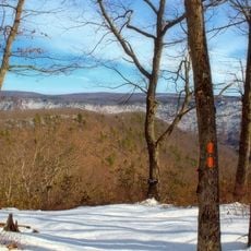
Black Forest Trail
40.5 km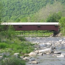
Forksville Covered Bridge
41.4 km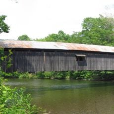
Hillsgrove Covered Bridge
34.8 km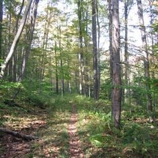
Old Loggers Path
23.5 km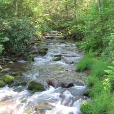
Tiadaghton State Forest
21.1 km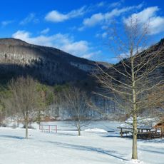
Little Pine State Park
24.7 km
Plunketts Creek Bridge No. 3
22.5 km
Muncy Creek
26.5 km
Ravensburg State Park
30.8 km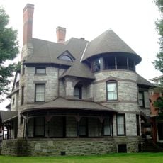
Millionaire's Row Historic District
12.9 km
Susquehanna State Park
14.3 km
Lake Chillisquaque
43.2 km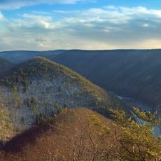
Golden Eagle Trail
38.9 km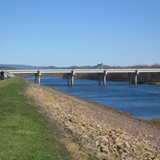
Carl E. Stotz Memorial Little League Bridge
45.3 km
Piper Aviation Museum
39 km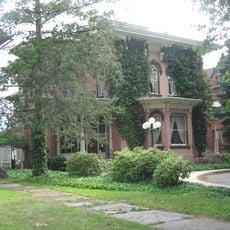
Peter Herdic House
13 km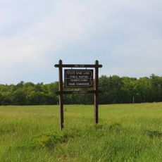
State Game Lands Number 226
45.9 km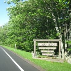
Eagles Mere Historic District
41.1 km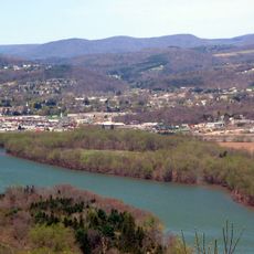
Canfield Island Site
15 km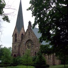
St. James Episcopal Church
28.3 km
Buttonwood Covered Bridge
18.7 km
Allenwood River Bridge
30.5 km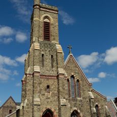
Christ Episcopal Church
12.9 kmReviews
Visited this place? Tap the stars to rate it and share your experience / photos with the community! Try now! You can cancel it anytime.
Discover hidden gems everywhere you go!
From secret cafés to breathtaking viewpoints, skip the crowded tourist spots and find places that match your style. Our app makes it easy with voice search, smart filtering, route optimization, and insider tips from travelers worldwide. Download now for the complete mobile experience.

A unique approach to discovering new places❞
— Le Figaro
All the places worth exploring❞
— France Info
A tailor-made excursion in just a few clicks❞
— 20 Minutes