Vantage, Census-designated place in Kittitas County, Washington, US
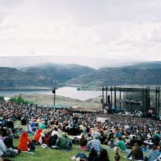
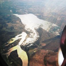
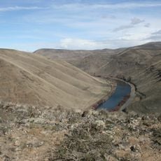
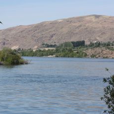
Vantage is a small settlement along the Columbia River in central Washington, positioned where the waterway cuts through a dramatic landscape of basalt cliffs. The community serves travelers and outdoor enthusiasts with basic services and direct access to the river and surrounding rock formations.
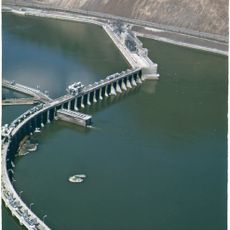
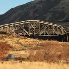
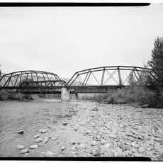
The site was selected for a railroad crossing in the early 1900s, which brought the first permanent structures to the area. A steel bridge built in the 1920s became a crucial link across the river, establishing Vantage as a transportation hub.
The Wanapum people left their mark on this area through rock carvings they created over centuries. You can still see the connection between the land and its original inhabitants in the stories told by locals and guides.
The town sits directly on Interstate 90, making it straightforward to stop while driving through Washington's central valley. A small RV park and a couple of local eateries provide comfortable places to rest before heading out to hike, rock climb, or visit nearby attractions.
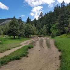
The rocky landscape surrounding the settlement has become a magnet for rock climbers from across the region. What many first-time visitors don't realize is how the basalt formation creates a surprisingly varied terrain, with routes suited to both beginners and experienced climbers alike.
The community of curious travelers
AroundUs brings together thousands of curated places, local tips, and hidden gems, enriched daily by 60,000 contributors worldwide.