Euphrates, River in central Iraq
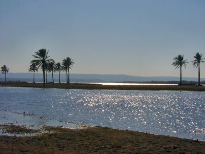
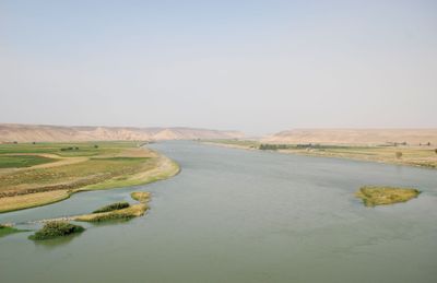
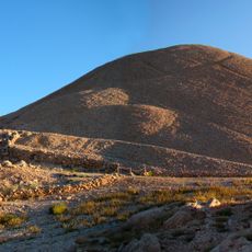
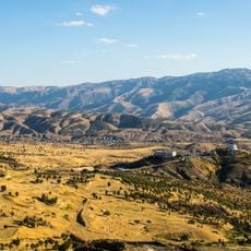
The Euphrates is a river stretching 2800 kilometers (1740 miles) from eastern Turkey through Syria into Iraq, where it merges with the Tigris to form the Shatt al-Arab. Its wide bed winds through dry plains and narrow gorges, bordered by date palms and reeds in irrigated sections, while rocky banks and sandbars shape the landscape in other stretches.
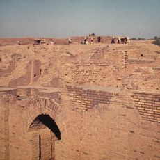
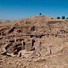
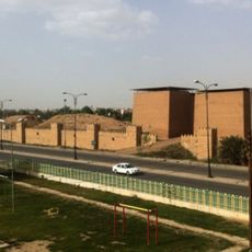
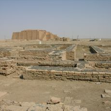
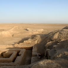
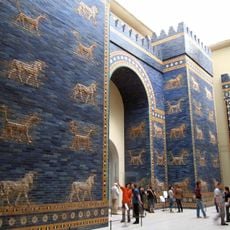
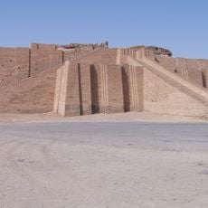
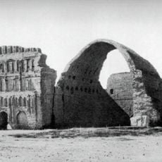
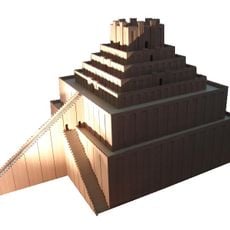
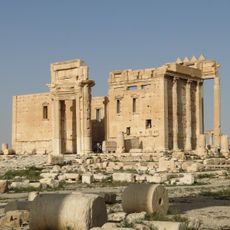
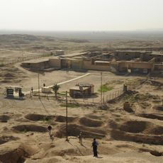
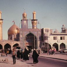
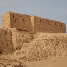
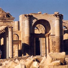
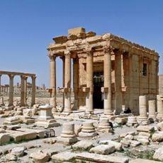
The river bed supported Sumerian, Akkadian, Babylonian, and Assyrian empires from 4000 BCE, with cities like Ur and Babylon rising on its fertile banks. Later conquests by Persians, Greeks, and Arabs brought new rulers to the water, which continued to define trade and power across the region.
Communities along its banks depend on the water for farming and daily life, with irrigation channels feeding fields and villages clustered along its course. Fishermen cast nets in the early morning, while families wash clothes at the edge and children play in shallow areas.
Dams along the course regulate water levels and generate electricity for Syria and Iraq, while farmers use the stored water for irrigation. Visitors can observe the riverbanks at some sections, though access varies depending on regional conditions and security.
Native fish species such as the shabout, bizz, and expedition barb live only in this river and nowhere else on Earth. Local fishermen catch these species using traditional methods and sell them at markets along the banks, where they are considered delicacies.
The community of curious travelers
AroundUs brings together thousands of curated places, local tips, and hidden gems, enriched daily by 60,000 contributors worldwide.