
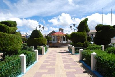
Yunguyo District, district in Puno, Peru
Location: Yunguyo Province
Capital city: Yunguyo
Elevation above the sea: 3,826 m
Shares border with: Ollaraya District, Cuturapi District, Pomata District, Zepita District, Copani District
GPS coordinates: -16.24417,-69.09250
Latest update: March 7, 2025 04:50
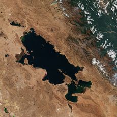
Titicaca
52.9 km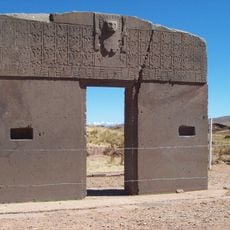
Tiwanaku
56.6 km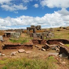
Pumapunku
56.5 km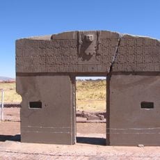
Gate of the Sun
56.5 km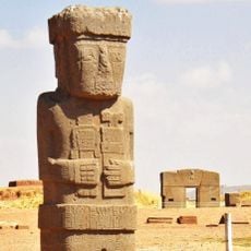
Ponce Monolith
56.6 km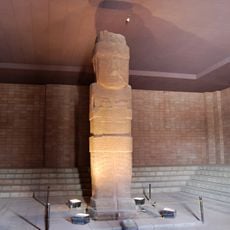
Bennett Monolith
56.6 km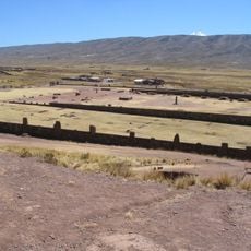
Kalasasaya
56.6 km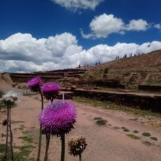
Akapana
56.7 km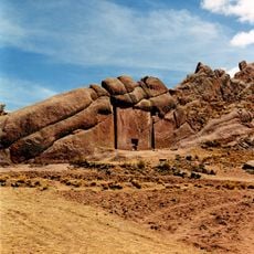
Aramu Muru
48.6 km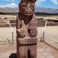
Monolith of the Frail
56.6 km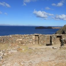
Chinkana
30.6 km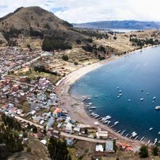
Khapia
11 km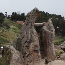
Pachat'aqa
8.1 km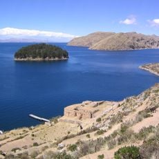
Pillkukayna
22.5 km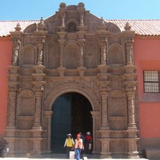
San Juan de Letran, Juli
39.3 km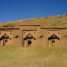
Iñaq Uyu
23 km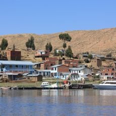
Isla Suriqui
36.3 km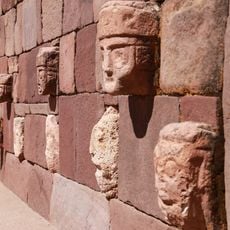
Tiwanaku Semi-subterranean Temple
56.6 km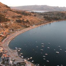
Asiru Phat'jata
6.1 km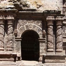
Santa Cruz de Jerusalen, Juli
39.6 km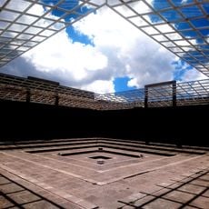
Regional Archaeological Museum of Tiwanaku
56.6 km
Intini Uyu Pata
2.6 km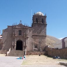
Cathedral of Juli
39.5 km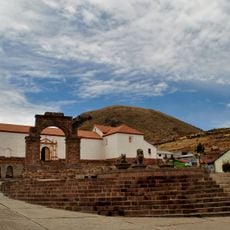
Nuestra Señora de la Asunción, Juli
39.1 km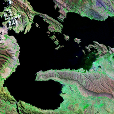
Cerro Khapia Reserved Zone Landscape Reserve
15.1 km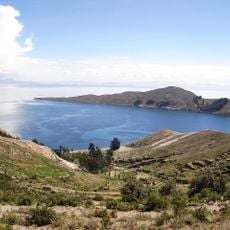
Bahía Kona
23.5 km
Janq'u Jaqhi
41.4 km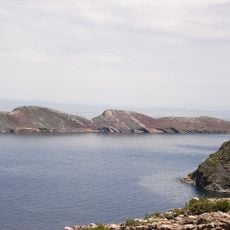
Jochihuata
30.7 kmReviews
Visited this place? Tap the stars to rate it and share your experience / photos with the community! Try now! You can cancel it anytime.
Discover hidden gems everywhere you go!
From secret cafés to breathtaking viewpoints, skip the crowded tourist spots and find places that match your style. Our app makes it easy with voice search, smart filtering, route optimization, and insider tips from travelers worldwide. Download now for the complete mobile experience.

A unique approach to discovering new places❞
— Le Figaro
All the places worth exploring❞
— France Info
A tailor-made excursion in just a few clicks❞
— 20 Minutes