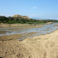
Chancay River, River system in Lambayeque and Cajamarca, Peru.
The Chancay River rises in the Andes and runs through several provinces of the Lambayeque and Cajamarca regions before emptying into the Pacific Ocean. It crosses a wide range of terrain, moving from rocky highland valleys through intermediate slopes and eventually onto the flat coastal plain.
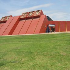
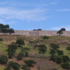
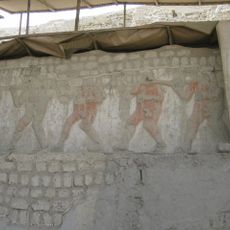
Cultures living in the coastal desert long before the Spanish arrived built irrigation canals fed by this river to sustain their settlements and fields. Later populations expanded those canal networks, and parts of the original layout are still visible in the valley today.
Along the lower stretches of the river, fields laid out in a patchwork pattern show how closely farming is tied to the seasonal rise and fall of the water. Local farmers still adjust their planting calendar to match the river's rhythm, a practice passed down through generations.
The lower valley near the coast is the easiest part of the river to visit, with open farmland and clear views of the water and the canal network. If you plan to follow the river into the highlands, go with a local guide since the paths are less marked and the terrain gets rough quickly.
Even though the river flows through one of the driest coastal strips on Earth, its banks stay green year-round because of the irrigation canals branching off from it. From higher ground or from the air, this green ribbon cutting through the brown desert is one of the most telling signs of how the river has shaped life here.
The community of curious travelers
AroundUs brings together thousands of curated places, local tips, and hidden gems, enriched daily by 60,000 contributors worldwide.