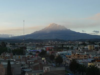
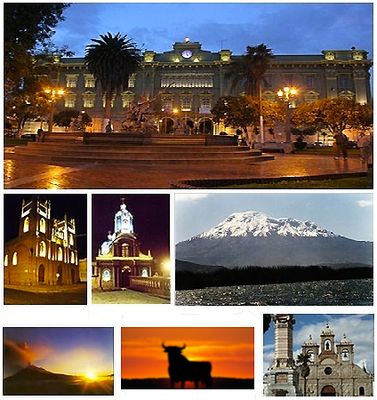
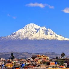
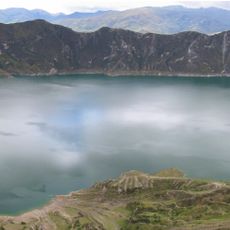
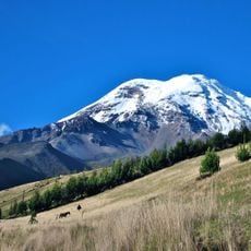
Riobamba, Colonial administrative center in central Andes, Ecuador.
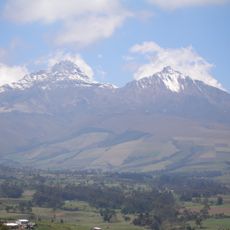
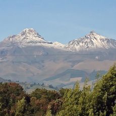
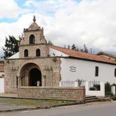
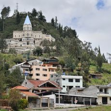
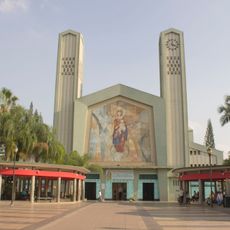
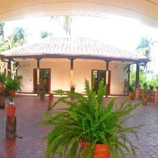
Riobamba is an administrative center in Chimborazo Province located on a plateau between mountain ranges in the central Andes. The streets run in a grid around a central plaza, with low buildings made of stone and plaster housing government offices, banks and residences.
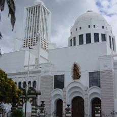
The settlement was established in 1534 by Spanish conquistadors and moved to its current site in 1797 after an earthquake destroyed the original town. The reconstruction followed a rectangular plan that still shapes the old quarter today.
The Saturday market brings together farmers from surrounding villages who sell potatoes, corn and wool, while women in traditional skirts arrange their goods between the rows. The streets around the main plaza show balconies from the 19th century that hang over narrow sidewalks, where today shops and small restaurants serve local dishes.
Buses from Quito arrive several times daily at the terminal on the southern edge of town, from where taxis or local buses run into the center. Mornings work well for walking through the streets around the main plaza before midday heat sets in.
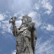
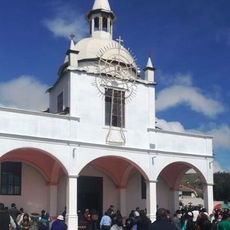
A small museum near the main plaza displays furniture and clothing from the period after the town was moved, offering insight into the lives of wealthy families in the 19th century. The collection includes hand-carved chests and religious paintings that document daily life after the reconstruction.
The community of curious travelers
AroundUs brings together thousands of curated places, local tips, and hidden gems, enriched daily by 60,000 contributors worldwide.