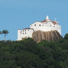
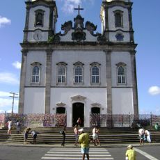
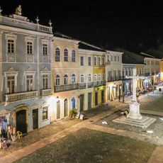
São Francisco River, Major river in eastern Brazil.
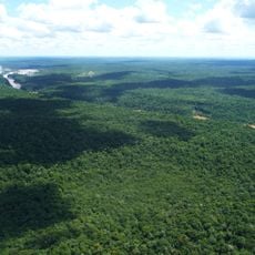
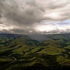
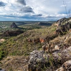
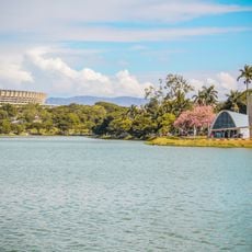
The São Francisco River flows 2914 kilometers through five states, from the hills of Minas Gerais to the Atlantic coast near Aracaju. The waterway crosses semi-arid landscapes and fertile lowlands, passing settlements, agricultural zones, and protected shoreline areas.
Amerigo Vespucci first observed the waterway on October 4, 1501, naming it after Saint Francis of Assisi, whose feast day fell on the same date. For centuries, the channel served as an important route into the interior, linking coastal ports with remote settlements.
Communities along the banks sell hand-carved wooden figures called carrancas, which were once attached to the prows of river boats to ward off misfortune. Fishermen and ferry workers still observe this custom, carrying small carvings on board or displaying them on shore.
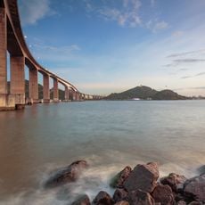
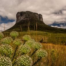
The waterway feeds several hydroelectric plants that supply electricity to much of the northeast, influencing water levels throughout the year. Visitors can explore different sections by boat or walk along shoreline zones, though conditions vary depending on season and dam releases.
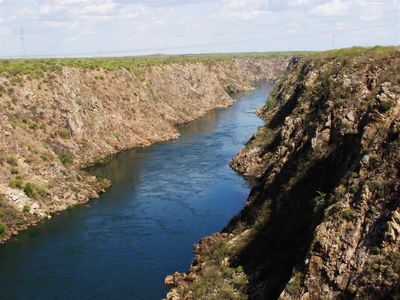
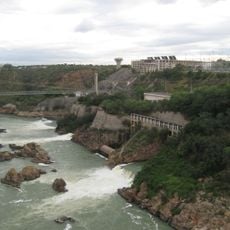
The Paulo Afonso Falls section features three consecutive waterfalls through granite formations with a combined drop of 84 meters (275 feet). The area forms a natural border between states and attracts visitors who come to experience the roar and mist up close.
The community of curious travelers
AroundUs brings together thousands of curated places, local tips, and hidden gems, enriched daily by 60,000 contributors worldwide.