Altamira, Administrative division in Pará, Brazil
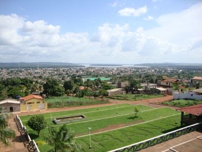
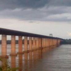
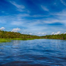
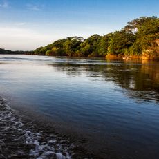
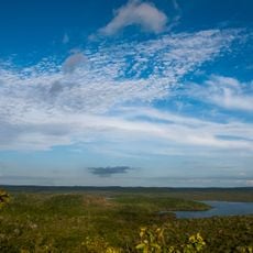
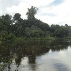
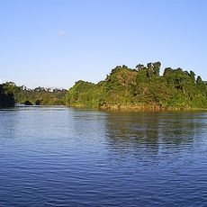
Altamira is an administrative division in Pará state, northern Brazil, positioned along the banks of the Xingu River. The town serves as a central hub for a sprawling territory that covers rural communities and forested areas.
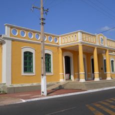
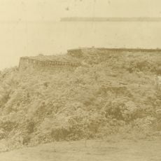
The place began as Mission Tavaquara in the 1750s under Father Roque Hunderfund. The current name was introduced in 1883 by Colonel Francisco Gayoso as the settlement developed into a regional center.
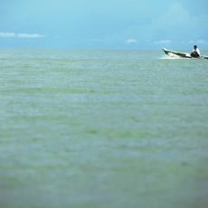
The name comes from Spanish, meaning high viewpoint, chosen by the founder to evoke the elevated position above the river. Residents and visitors arrive by boat or small plane, reflecting how geography shapes movement across this forested region.
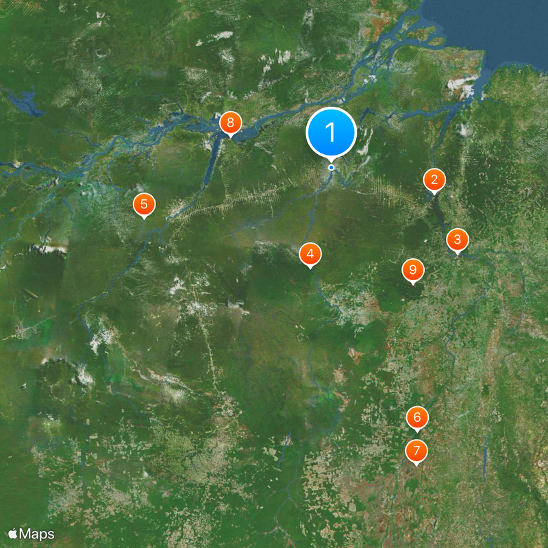
Visitors reach the area by plane through the airport or by long-distance bus from larger Brazilian cities. The town sits far from coastal centers, so road connections often take several days.
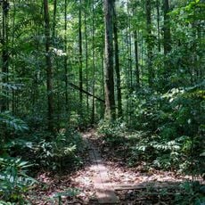
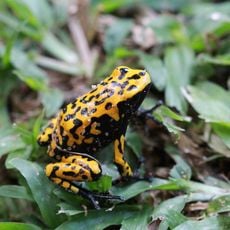
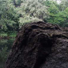
The territory holds sections of several protected areas, including parts of Altamira National Forest and Jamanxim National Park. These zones often lie days away from the nearest paved road and remain hard to reach for visitors.
Location: Pará
Inception: November 6, 1911
Elevation above the sea: 109 m
Shares border with: Brasil Novo, Guarantã do Norte, Itaituba, Matupá, Novo Progresso, Peixoto de Azevedo, Placas, Rurópolis, São Félix do Xingu, Senador José Porfírio, Trairão, Uruará, Vitória do Xingu
Website: http://altamira.pa.gov.br
GPS coordinates: -3.20278,-52.20583
Latest update: December 12, 2025 22:54
Tucuruí Dam
292.6 km
Marabá Combined Bridge
419.2 kmCaverna da Pedra Pintada
280.5 km
Amazônia National Park
532.8 km
Cantão State Park
759.8 km
Araguaia National Park
845.3 km
João Fona cultural centre
291.6 km
Carajás National Forest
389.8 km
Juruena National Park
837.9 kmAcari National Park
858.6 km
Pau do Presidente
6.3 km
Estádio Municipal Zinho de Oliveira
416.1 km
Tapajós hydroelectric complex
479.1 km
Caxiuanã National Forest
178.9 km
Cristalino State Park
800.3 km
National Forest Tapajós
320.5 km
Monumento das Castanheiras Mortas
453.5 kmFort of Óbidos, Fort of Pauxis
395 km
Serra do Pardo National Park
300.7 km
Jamanxim National Park
494.8 km
Rio Novo National Park
676.2 km
Fort of Saint Antony of Gurupá
209.9 kmExtremo Norte do Tocantins Extractive Reserve
525.8 km
Terra do Meio Ecological Station
174.3 kmSaracá-Taquera National Forest
529.8 kmAmapá National Forest
242.3 km
Rio Cajari Extractive Reserve
240.4 kmNascentes da Serra do Cachimbo Biological Reserve
702.6 kmVisited this place? Tap the stars to rate it and share your experience / photos with the community! Try now! You can cancel it anytime.
Discover hidden gems everywhere you go!
From secret cafés to breathtaking viewpoints, skip the crowded tourist spots and find places that match your style. Our app makes it easy with voice search, smart filtering, route optimization, and insider tips from travelers worldwide. Download now for the complete mobile experience.
A unique approach to discovering new places❞
— Le Figaro
All the places worth exploring❞
— France Info
A tailor-made excursion in just a few clicks❞
— 20 Minutes