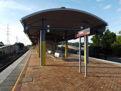
Nerang, Administrative division in Gold Coast City, Australia
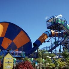
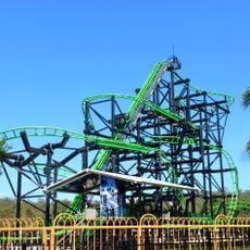
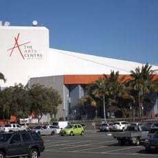
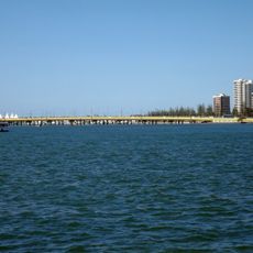
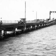
Nerang is an administrative division within Gold Coast City located along the Nerang River, with residential and commercial areas on both sides of the waterway. The area functions as a central hub where the river shapes the layout of neighborhoods and business districts.
The region was surveyed and mapped by Martin Lavelle in 1865 when European settlement began along the river. This early surveying work established the foundation for the township's growth and its current administrative boundaries.
The name comes from Aboriginal language meaning water places, reflecting the traditional connection between the river system and the earliest people who lived here.
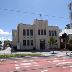
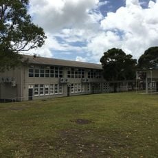
The administration center offers government services and customer support for residents and visitors seeking local information. The river runs through the area in a way that makes crossing between neighborhoods straightforward, so you can explore both sides easily.
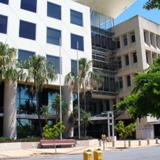
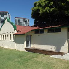
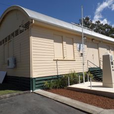
The Nerang Precinct includes an ongoing redevelopment program upgrading both the administration center and community facilities in the area. These infrastructure improvements are reshaping how residents interact with the central services and gathering spaces available to them.
The community of curious travelers
AroundUs brings together thousands of curated places, local tips, and hidden gems, enriched daily by 60,000 contributors worldwide.