Bethel, Census-designated place in western Alaska, United States.
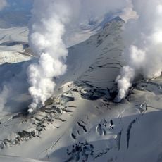
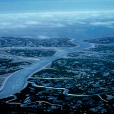
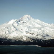
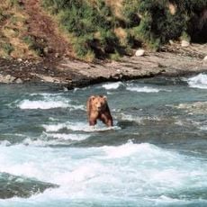
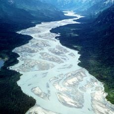
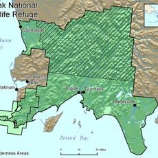
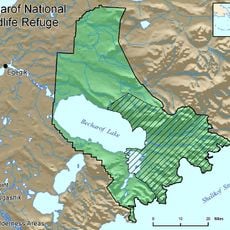
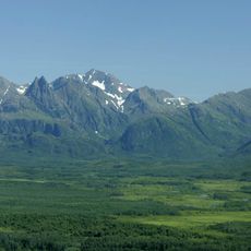
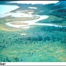
Bethel is a census area in western Alaska covering land from the mainland to the Bering Sea, encompassing the Yukon Delta National Wildlife Refuge and extensive river systems. The region includes numerous small communities scattered across this large territory.
The area became a designated administrative region in 1980 when Alaska's unorganized territories were reorganized into separate census areas. This classification has structured how the region is managed and documented since then.
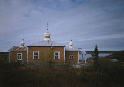
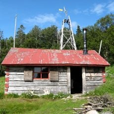
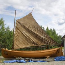
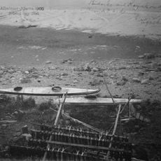
The residents speak Yupik in their homes and maintain traditions that shape how the community gathers and celebrates together. These cultural practices remain central to daily life and are visible in local celebrations and artistic expressions.
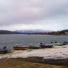
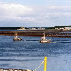
Getting around relies mainly on small planes and waterways since roads connecting communities are scarce in this remote area. Plan for longer travel times and be flexible with schedules due to weather and transportation conditions.
The territory spans a land mass the size of a large US state and includes both mainland and Nunivak Island in the Bering Sea. This island addition makes the region geographically more complex than typical Alaska areas.
The community of curious travelers
AroundUs brings together thousands of curated places, local tips, and hidden gems, enriched daily by 60,000 contributors worldwide.