
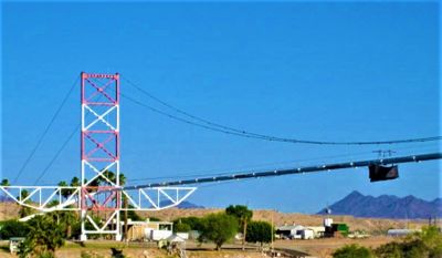
Blythe-Ehrenberg Suspension Bridge
Location: La Paz County
Location: Riverside County
Inception: 1916
GPS coordinates: 33.60186,-114.53323
Latest update: April 3, 2025 22:09

Salvation Mountain
95.5 km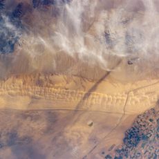
Algodones Dunes
88.1 km
Central Arizona Project
85.9 km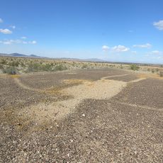
Blythe Intaglios
22.1 km
Colorado River Aqueduct
83.5 km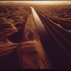
All-American Canal
81 km
Chuckawalla Valley State Prison
35.1 km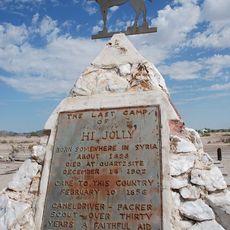
Hi Jolly Monument
28.4 km
Kofa National Wildlife Refuge
63.7 km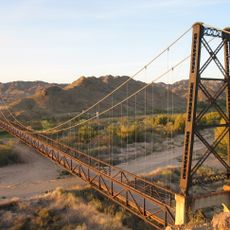
McPhaul Suspension Bridge
94.4 km
Buckskin Mountain State Park
81.6 km
Picacho State Recreation Area
64.6 km
Cibola National Wildlife Refuge
35.4 km
Cattail Cove State Park
89.8 km
Imperial National Wildlife Refuge
59.2 km
Little Picacho Wilderness
73.8 km
Imperial Reservoir
80.2 km
Bill Williams River National Wildlife Refuge
87.5 km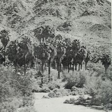
Corn Springs
73.5 km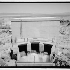
Turtle Mountains
81.6 km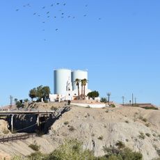
Mission Puerto de Purísima Concepción
97.3 km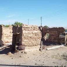
Fort Tyson
29.8 km
Riverside Mountains
46.9 km
Blythe Intake
14.6 km
Trigo Mountains Wilderness
47.6 km
Parker Jail
64.8 km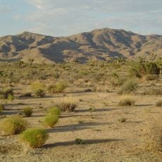
Joshua Tree Wilderness
91.6 km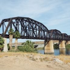
Arizona and California Railroad Bridge
65.9 kmReviews
Visited this place? Tap the stars to rate it and share your experience / photos with the community! Try now! You can cancel it anytime.
Discover hidden gems everywhere you go!
From secret cafés to breathtaking viewpoints, skip the crowded tourist spots and find places that match your style. Our app makes it easy with voice search, smart filtering, route optimization, and insider tips from travelers worldwide. Download now for the complete mobile experience.

A unique approach to discovering new places❞
— Le Figaro
All the places worth exploring❞
— France Info
A tailor-made excursion in just a few clicks❞
— 20 Minutes