Chest opened
+${chestReward.xp} XP
Explorer
NOUVEAU ×${chestReward.collectible.quantity}
tapez pour fermer
Chest locked

Open chests in the app

Around Us is built for your phone — chests unlock when you walk, explore and capture nearby places.

Enable Location

We need your location to show you interesting places around you

Discover nearby places

Find interesting locations and hidden gems around you

Precise directions

Get accurate directions and distances to places

Your location is never shared with other users. It's only used when you tap the location button.

Salome

Log in to your account

Start exploring — it's free

Trusted by 72,878 travelers worldwide

Continue with Google
Continue with Apple
or

We will send you a code to connect

By continuing, you accept our Terms and Conditions and our Privacy Policy

Check your inbox

We've sent a pincode in your inbox. Please enter the code below.

Discussion Reviews 1 Photos
12.6k Popularity

Salome, Census-designated settlement in La Paz County, Arizona, US

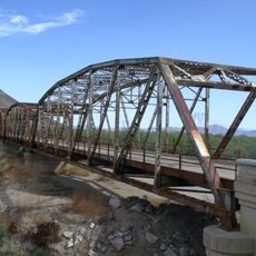
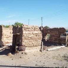
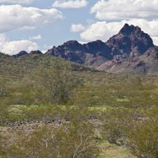
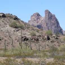
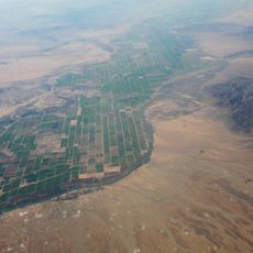
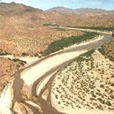
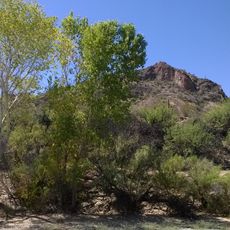
Salome is a small residential settlement in La Paz County, Arizona, stretching along U.S. Route 60 through desert landscape. The community consists of scattered homes surrounded by dry terrain, with schools serving as its main public facilities.

The settlement was founded in 1904 by Dick Wick Hall, Ernest Hall, and Charles Pratt, receiving its name in honor of Pratt's wife. Early growth was tied to its location along a trade route that opened up the desert region.

The name comes from Grace Salome Pratt, wife of one of the founders, reflecting the personal ties woven into the community's identity. Residents gather regularly for local events and meetings that strengthen the sense of belonging in this small settlement.

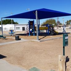
The settlement has elementary and high schools serving local students through district programs. Visitors should note that the place is small and primarily rural, with most services concentrated along the main road.

Dick Wick Hall, one of the founders, was also a noted humorist and magazine writer who portrayed the area in his writings. His contributions helped capture the history and character of this desert settlement in the early 20th century.

The community of curious travelers

AroundUs brings together thousands of curated places, local tips, and hidden gems, enriched daily by 60,000 contributors worldwide.

Start exploring
Location
Elevation above the sea
571 m
GPS coordinates
33.76360,-113.60900
Latest update
December 7, 2025 20:44
Around this place
Central Arizona Project
United States of America

Central Arizona Project

73.9 km
Blythe Intaglios
United States of America

Blythe Intaglios

86.1 km
Colorado River Aqueduct
United States of America

Colorado River Aqueduct

78.3 km
Ironwood State Prison
United States of America

Ironwood State Prison

99.4 km
Hi Jolly Monument
United States of America

Hi Jolly Monument

59.1 km
White Tank Mountains
United States of America

White Tank Mountains

97.7 km
Kofa National Wildlife Refuge
United States of America

Kofa National Wildlife Refuge

67.8 km
Alamo Lake State Park
United States of America

Alamo Lake State Park

52.2 km
Painted Rock Petroglyph Site
United States of America

Painted Rock Petroglyph Site

97.5 km
Painted Rock Dam
United States of America

Painted Rock Dam

94.6 km
Buckskin Mountain State Park
United States of America

Buckskin Mountain State Park

73.3 km
Gillespie Dam Highway Bridge
United States of America

Gillespie Dam Highway Bridge

98.2 km
Cattail Cove State Park
United States of America

Cattail Cove State Park

83.3 km
Bill Williams River National Wildlife Refuge
United States of America

Bill Williams River National Wildlife Refuge

71.4 km
Hassayampa River Preserve
United States of America

Hassayampa River Preserve

86.3 km
Fort Tyson
United States of America

Fort Tyson

57.7 km
Sugarloaf Mountain
United States of America

Sugarloaf Mountain

52.5 km
Eagletail Mountains Wilderness
United States of America

Eagletail Mountains Wilderness

40.5 km
Riverside Mountains
United States of America

Riverside Mountains

90.8 km
Arrastra Mountain Wilderness
United States of America

Arrastra Mountain Wilderness

85.9 km
Hassayampa Bridge
United States of America

Hassayampa Bridge

94.4 km
Blythe Intake
United States of America

Blythe Intake

84 km
Garcia School
United States of America

Garcia School

84.3 km
Alamo Lake
United States of America

Alamo Lake

52.2 km
Old Brick Post Office
United States of America

Old Brick Post Office

84.4 km
Wegner Peak
United States of America

Wegner Peak

74.4 km
Arizona and California Railroad Bridge
United States of America

Arizona and California Railroad Bridge

77.6 km
Pop Harvy Park splash pad
United States of America

Pop Harvy Park splash pad

76.5 km
Show the full map
Reviews
Share your experience

No review yet

Discussions
Start a discussion...

No discussion yet

« Salome - Census-designated settlement in La Paz County, Arizona, US » is provided by Around Us (aroundus.com). Images and texts are derived from Wikimedia project under a Creative Commons license. You are allowed to copy, distribute, and modify copies of this page, under the conditions set by the license, as long as this note is clearly visible.

Discover hidden gems everywhere you go!

From secret cafés to breathtaking viewpoints, skip the crowded tourist spots and find places that match your style. Our app makes it easy with voice search, smart filtering, route optimization, and insider tips from travelers worldwide. Download now for the complete mobile experience.

Around Us App Screenshot

A unique approach to discovering new places

Le Figaro

All the places worth exploring

France Info

A tailor-made excursion in just a few clicks

20 Minutes

Around Us
Travel Guide & Maps
Download

Send to your phone

QR Code
1

Open the camera app on your mobile.

2

Point at the QR code with your camera. A notification will appear.

3

Tap the notification to open the link.