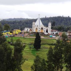
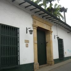
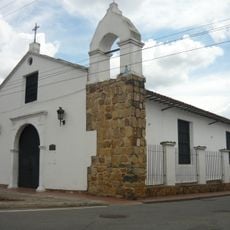
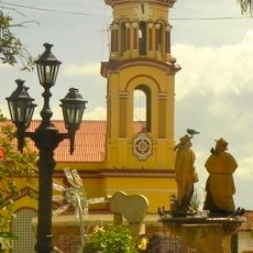
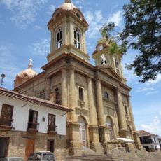
Confines, Mountain municipality in Santander Department, Colombia
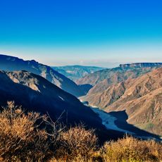
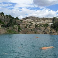
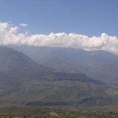
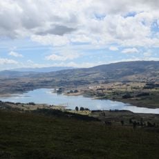
Confines is a mountain municipality in the Santander Department of northeastern Colombia. The settlement sits at about 1,830 meters (6,000 feet) elevation, nestled among valleys and steep hillsides.
Confines developed during Colombia's territorial consolidation in the 19th century, forming as a municipal division within Santander Department. The settlement became established as part of the region's administrative expansion.
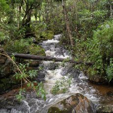
Residents of Confines maintain traditional agricultural practices passed through generations, cultivating crops adapted to the high-altitude environment of Santander.
The main access to Confines comes through regional roads connecting to larger cities in Santander Department. Local transportation options exist to navigate the different areas of the municipality.
The geographic position of Confines at 6.355833 latitude and -73.240833 longitude creates specific microclimates supporting diverse ecological systems.
The community of curious travelers
AroundUs brings together thousands of curated places, local tips, and hidden gems, enriched daily by 60,000 contributors worldwide.