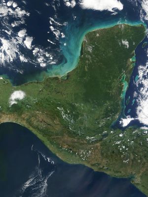
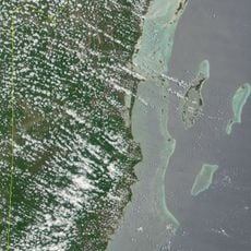
Yucatan Peninsula, Limestone peninsula in southeastern Mexico
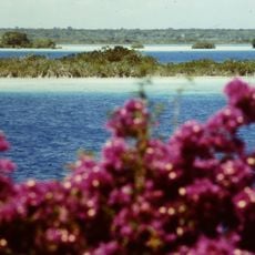
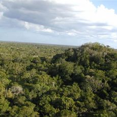
The Yucatan Peninsula is a large landmass in southeastern Mexico that separates the Caribbean Sea from the Gulf of Mexico. Its flat surface consists almost entirely of limestone, crossed by caves and waterholes formed through erosion over time.
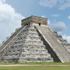
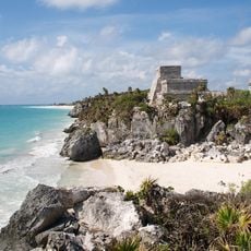
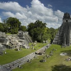
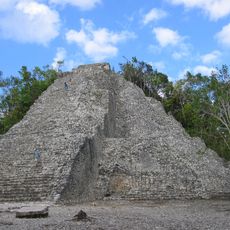
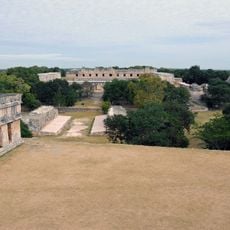
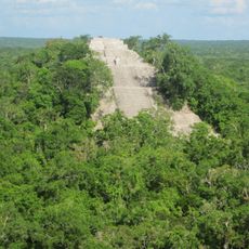
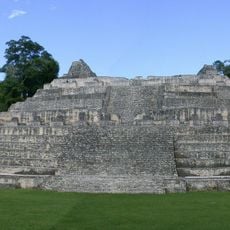
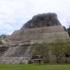
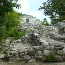
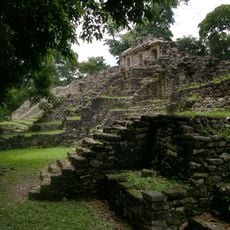
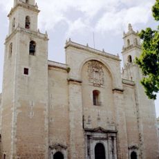
An asteroid impact roughly 66 million years ago left the Chicxulub crater near the northwest coast, an event that caused many species to disappear. Later, Maya communities built their cities here, which flourished until the Spanish arrived in the 16th century.
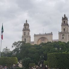
The peninsula takes its name from the city of Yucatán to the north, and many towns display bilingual signs in Spanish and Maya. Villages and markets offer handwoven textiles and dishes like cochinita pibil, slow-cooked pork wrapped in banana leaves, that visitors can taste locally.
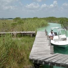
The northwestern areas are drier and receive less rain, while the south is more humid and sees more frequent rainfall. Roads connect larger towns, with buses and rental cars being common ways to move around.
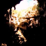
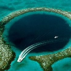
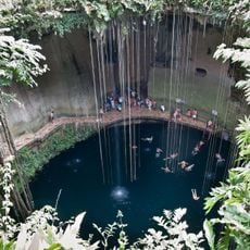
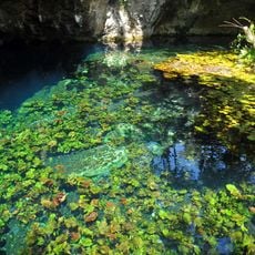
The ground holds a vast network of underground rivers flowing beneath the dry surface, accessible through natural openings in the rock. These subterranean streams often connect several cenotes together, forming waterways that stretch for kilometers.
The community of curious travelers
AroundUs brings together thousands of curated places, local tips, and hidden gems, enriched daily by 60,000 contributors worldwide.