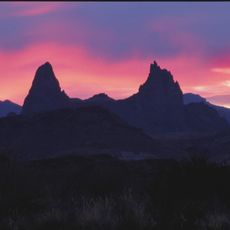
Rio Grande, River at Mexico-United States border, Mexico.
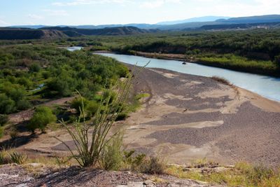
The Rio Grande extends over 1900 miles (3050 kilometers) from the Rocky Mountains in Colorado through desert terrain to the Gulf of Mexico. The riverbed forms a natural boundary between two countries over much of its course, passing through dramatically different landscapes from mountain areas to low coastal plains.
Indigenous peoples settled along the banks for centuries before Spanish explorers mapped the waterway in the 16th century. In the 19th century, treaties between two nations formally established the river course as a boundary line.
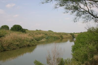
Local communities on either side of the water refer to two different names for the same river: Rio Bravo on the Mexican side and Rio Grande on the American. Residents along the banks maintain farming practices that adapt to seasonal water levels, with traditional irrigation systems still visible today.
Water levels fluctuate significantly depending on the season, with spring often bringing higher levels and summer showing lower flows. Access to the banks is possible in many locations, but travelers should be aware of changing current conditions and local regulations regarding the border zone.
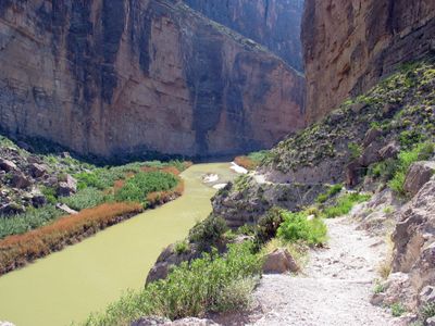
A major tributary called Rio Conchos contributes more water to the main channel than any other source, roughly double the amount of the second largest inflow. This addition changes the character of the waterway noticeably, particularly in the drier sections farther downstream.
The community of curious travelers
AroundUs brings together thousands of curated places, local tips, and hidden gems, enriched daily by 60,000 contributors worldwide.