Cape Perpetua

Log in to your account

AroundUs is a community-driven map of interesting places, built by curious explorers like you. It grows with every review, story, and photo you share.
Connect to save your favorite spots, contribute locations, and create personalized routes.
By continuing, you accept our Terms and Conditions and our Privacy Policy
Add to collection
Map
Suggest a change
Share

Cape Perpetua, Coastal promontory in Lincoln County, Oregon
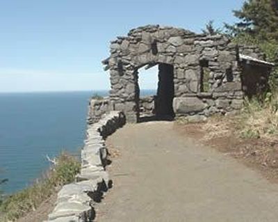
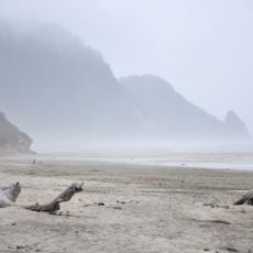
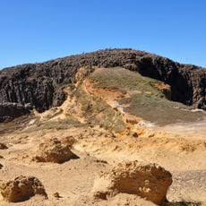
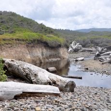
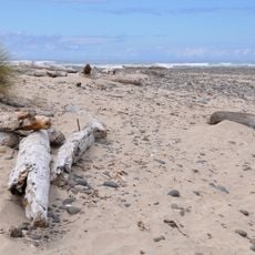
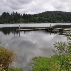
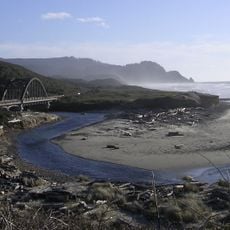
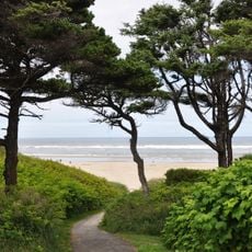
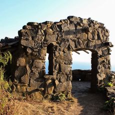
Cape Perpetua extends 800 feet above sea level, offering views spanning 70 miles of Oregon coastline and 37 miles into the Pacific Ocean.

Captain James Cook named the cape on March 7, 1778, during his exploration for a Pacific entrance to the Northwest Passage.

The Alsea people inhabited this area for 6,000 years, naming it Halqaik and collecting mussels, crabs, sea urchins, and clams along the shore.

The Cape Perpetua Visitor Center provides maps, educational programs, and access to 26 miles of interconnected hiking trails through ancient forests.

The Silent Sentinel of the Siuslaw, a 600-year-old Sitka spruce tree, stands 185 feet tall with a 40-foot circumference at the cape.

Location: Yachats

GPS coordinates: 44.28720,-124.11400

Latest update: May 26, 2025 21:51

Natural and historical sites across Oregon

Oregon features natural hot springs, waterfalls, and volcanic landscapes. The state contains geological formations, historic lighthouses, and coastal sections. The region presents desert areas, lakes, mountains, and canyons with various hiking trails.

Around this place
Show the full map
Heceta Head Light
United States of America

Heceta Head Light

16.7 km
Devils Churn
United States of America

Devils Churn

384 m
Alsea Bay Bridge
United States of America

Alsea Bay Bridge

16.5 km
Cleft of the Rock Light
United States of America

Cleft of the Rock Light

446 m
Cummins Creek Wilderness
United States of America

Cummins Creek Wilderness

7 km
Rock Creek Wilderness
United States of America

Rock Creek Wilderness

12.8 km
Carl G. Washburne Memorial State Park
United States of America

Carl G. Washburne Memorial State Park

14.4 km
Cape Creek Bridge
United States of America

Cape Creek Bridge

17.1 km
Driftwood Beach State Recreation Site
United States of America

Driftwood Beach State Recreation Site

19.8 km
Heceta Head Lighthouse
United States of America

Heceta Head Lighthouse

16.9 km
Beachside State Recreation Site
United States of America

Beachside State Recreation Site

10.7 km
Neptune State Scenic Viewpoint
United States of America

Neptune State Scenic Viewpoint

2.9 km
Seal Rock State Recreation Site
United States of America

Seal Rock State Recreation Site

23.5 km
Alsea Bay Historic Interpretive Center
United States of America

Alsea Bay Historic Interpretive Center

16.1 km
Yachats State Recreation Area
United States of America

Yachats State Recreation Area

2.7 km
Muriel O. Ponsler Memorial State Scenic Viewpoint
United States of America

Muriel O. Ponsler Memorial State Scenic Viewpoint

13 km
Smelt Sands State Recreation Site
United States of America

Smelt Sands State Recreation Site

3.9 km
Yachats Ocean Road State Natural Site
United States of America

Yachats Ocean Road State Natural Site

2.2 km
Stonefield Beach State Recreation Site
United States of America

Stonefield Beach State Recreation Site

6.9 km
Tokatee Klootchman State Natural Site
United States of America

Tokatee Klootchman State Natural Site

8.8 km
W. B. Nelson State Recreation Site
United States of America

W. B. Nelson State Recreation Site

15.5 km
Big Creek Bridge
United States of America

Big Creek Bridge

12.6 km
Governor Patterson Memorial State Recreation Site
United States of America

Governor Patterson Memorial State Recreation Site

14.3 km
Ten Mile Creek Bridge
United States of America

Ten Mile Creek Bridge

7 km
North Fork of the Yachats Bridge
United States of America

North Fork of the Yachats Bridge

11.8 km
Fisher School Bridge
United States of America

Fisher School Bridge

21.7 km
Thor's Well
United States of America

Thor's Well

978 m
Cape Perpetua Shelter and Parapet
United States of America

Cape Perpetua Shelter and Parapet

294 m
Show the full map

Reviews

Visited this place? Tap the stars to rate it and share your experience / photos with the community! Try now! You can cancel it anytime.

« Cape Perpetua: Coastal promontory in Lincoln County, Oregon » is provided by Around Us (aroundus.com). Images and texts are derived from Wikimedia project under a Creative Commons license. You are allowed to copy, distribute, and modify copies of this page, under the conditions set by the license, as long as this note is clearly visible.

Discover hidden gems everywhere you go!

From secret cafés to breathtaking viewpoints, skip the crowded tourist spots and find places that match your style. Our app makes it easy with voice search, smart filtering, route optimization, and insider tips from travelers worldwide. Download now for the complete mobile experience.

Around Us App Screenshot

A unique approach to discovering new places

Le Figaro

All the places worth exploring

France Info

A tailor-made excursion in just a few clicks

20 Minutes