
Red Bluffs, cliff in Skamania County, Washington, United States of America
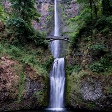
Multnomah Falls
18.5 km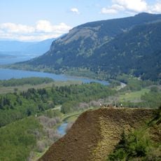
Columbia River Gorge
13.3 km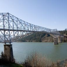
Bridge of the Gods
6.6 km
Bonneville Dam
6.8 km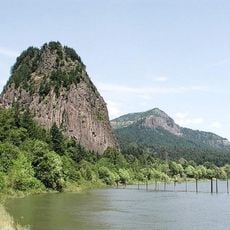
Beacon Rock State Park
6.3 km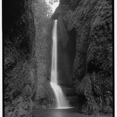
Oneonta Gorge
15.4 km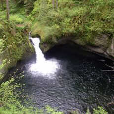
Punch Bowl Falls
10.5 km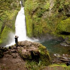
Wahclella Falls
9.6 km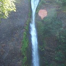
Horsetail Falls
15.1 km
Cascade Locks and Canal
6.5 km
Ainsworth State Park
14.4 km
Table Mountain
2 km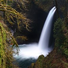
Metlako Falls
10.1 km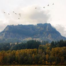
Franz Lake National Wildlife Refuge
14.2 km
Sheridan State Scenic Corridor
7.4 km
Greenleaf Peak
1.2 km
Benson State Recreation Area
18.8 km
John B. Yeon State Scenic Corridor
9.5 km
Lake Bonneville
11.8 km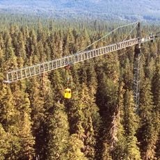
Wind River Experimental Forest
11.8 km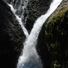
Twister Falls
16 km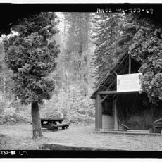
Wind River Arboretum
10.9 km
Fort Raines
6.7 km
Cascade Locks Work Center
9.6 km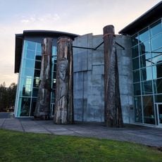
Columbia Gorge Interpretive Center Museum
5.3 km
Beacon Rock
9.6 km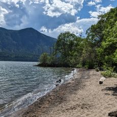
Home Valley Beach
14.4 km
Bonneville Dam Historic District
7.1 kmReviews
Visited this place? Tap the stars to rate it and share your experience / photos with the community! Try now! You can cancel it anytime.
Discover hidden gems everywhere you go!
From secret cafés to breathtaking viewpoints, skip the crowded tourist spots and find places that match your style. Our app makes it easy with voice search, smart filtering, route optimization, and insider tips from travelers worldwide. Download now for the complete mobile experience.

A unique approach to discovering new places❞
— Le Figaro
All the places worth exploring❞
— France Info
A tailor-made excursion in just a few clicks❞
— 20 Minutes