Niobrara River, River across Niobrara County, Nebraska, United States
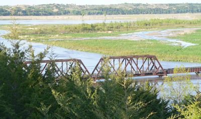
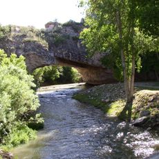
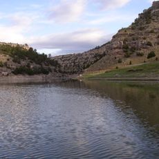
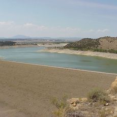
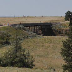
The Niobrara River is a waterway flowing through the Great Plains region, carving through varied terrain over hundreds of kilometers. The landscape shifts between steep-sided valleys, open grasslands, and tree-lined banks as it winds eastward.
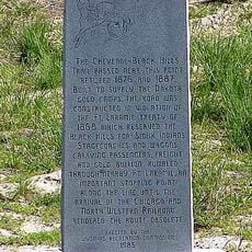
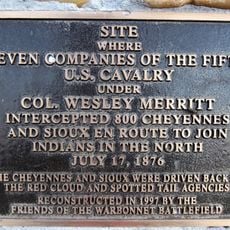
The river served as a territorial boundary in the early 1800s as settlement expanded westward. Its role in marking borders shaped how the region's boundaries took form during that era.
The Ponca and Pawnee peoples shaped their lives around this waterway, using it as a vital travel and resource route. Today, communities along the river maintain connections to these ancestral ties through local stories and traditions.
The river is accessible at multiple launch points and service areas along its course, especially around Valentine. Spring and summer offer the most comfortable conditions for activities on the water.
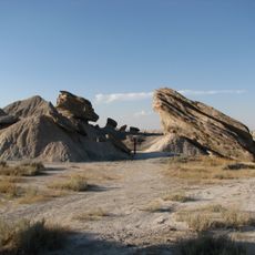
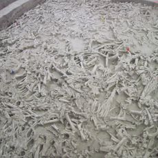
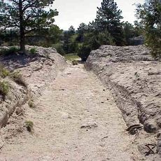
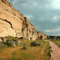
The river flows through sections where limestone formations reveal geological layers and fossil traces. These exposed rock walls tell a story of millions of years of Earth's history written in stone.
The community of curious travelers
AroundUs brings together thousands of curated places, local tips, and hidden gems, enriched daily by 60,000 contributors worldwide.