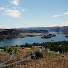
Columbia Plateau, Level III ecoregion in Washington, US
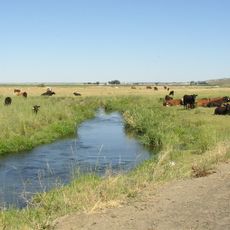
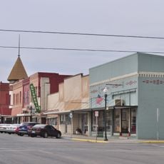
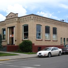
The Columbia Plateau is a geographical region spanning the Columbia River Basin across Washington, Oregon, and Idaho. The landscape is dominated by volcanic basalt bedrock and characterized by extensive agricultural development.
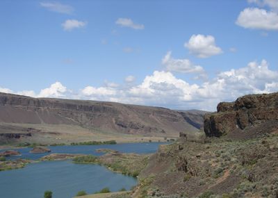
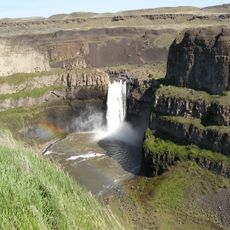
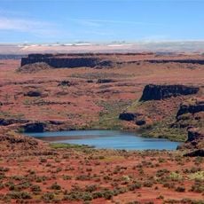
This region formed through massive volcanic eruptions during the late Miocene and early Pliocene epochs that built thick basalt layers. During the Ice Age, enormous flood events reshaped the surface landscape that we see today.
The Yakama and Nez Perce Nations maintain communities within reserved lands across this plateau region. Their presence shapes the cultural identity and social fabric of the area today.
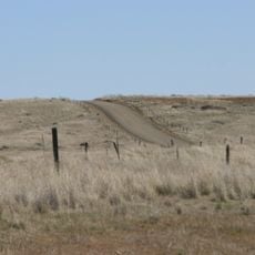
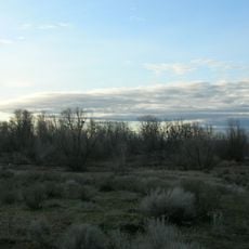
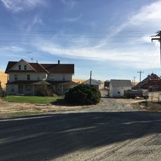
The region is largely open to exploration with numerous back roads and farm routes offering views of the working landscape. Visitors should expect variable weather and bring adequate clothing and supplies for extended time outdoors.
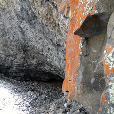
The Channeled Scablands area within this plateau features unusual rocky formations carved by extreme flood events during the last Ice Age. These marked canyons and gorges appear almost like scars cut into the terrain.
The community of curious travelers
AroundUs brings together thousands of curated places, local tips, and hidden gems, enriched daily by 60,000 contributors worldwide.