Bregenzerwald, Mountain range in Vorarlberg, Austria
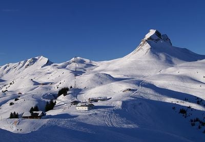
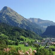
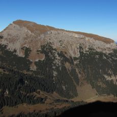
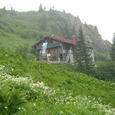
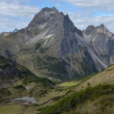
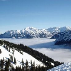
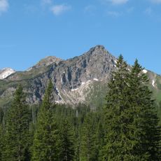
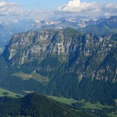
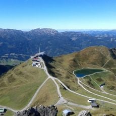
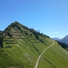
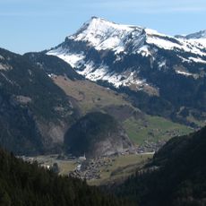
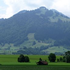
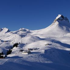
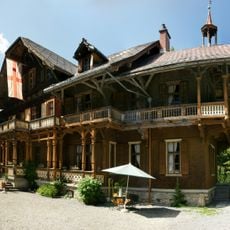
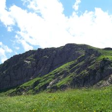
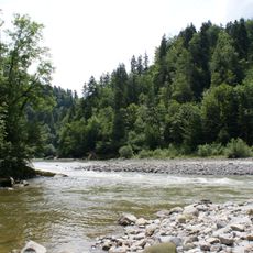
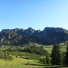
The Bregenz Forest is a mountain region in Vorarlberg that extends from the Rhine Valley flatlands up to higher peaks and is shaped by forests, meadows, and farming communities. The landscape shows green slopes with traditional houses and opens to new views as you explore.
The region formed during the Middle Ages as a community where local leaders from prominent families managed affairs. This early self-governance laid the foundation for a culture based on cooperation and local decision-making that continues today.
The region is deeply tied to cheesemaking, and you see small dairies and farms throughout where milk becomes local cheese. This craft tradition shapes how the landscape looks and remains part of daily life for many who live here.
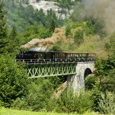
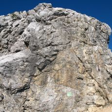
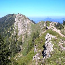
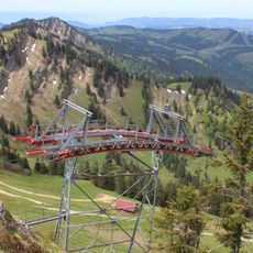
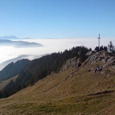
The area has marked trails connecting different parts, letting you walk from valley to valley in a day without needing to stay overnight. The trails are generally accessible, but conditions change with elevation, so prepare for varied terrain and weather.
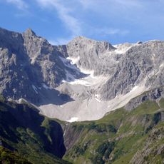
The geology here is special because of layered rock formations from different time periods that shape the land. This geological diversity makes each walk feel like a journey through different eras of Earth.
Location: Egg
Elevation above the sea: 2,134 m
Shares border with: Vorarlberger Rheintal, Leiblachtal, Allgäu, Kleinwalsertal, Großes Walsertal, Hochtannberg area, Laternser Tal
Address: Posthus, Loco 597/1. OG, 6863 Egg, Austria
Opening Hours: Monday-Wednesday 09:00-12:30; Thursday 09:00-16:00; Friday 09:00-12:30
Phone: +43551226000
Website: http://regiobregenzerwald.at/bregenzerwald-archiv-termine.html
GPS coordinates: 47.43170,9.89692
Latest update: January 23, 2026 13:18
Boundary Stone 147
27.8 km
Hoher Ifen
17.5 km
Hochgrat
15.4 km
Bregenz Forest Railway
5.5 km
Großer Widderstein
24 km
Fellhorn
25.8 km
Buchenegg Waterfalls
15.9 km
Riedberger Horn
19.9 km
Kanzelwand
25.8 km
Kanisfluh
11.4 km
Mindelheim Via Ferrata
27.4 km
Balderschwang yew
16.9 km
Nagelfluhkette Nature Park
12.4 km
Kanzelwandbahn
23.3 km
Walmendinger Horn
21 km
Diedamskopf
13.6 km
Hochgratbahn
14.9 km
Mittag
26.7 km
Schneckenlochhoehle
14.4 km
Winterstaude
7.2 km
Hochhädrich
9.7 km
Damülser Mittagsspitze
13.5 km
Braunarlspitze
25.8 km
Villa Maund
19.8 km
Hölloch
20 km
Stuiben
22 km
Bregenzerachschlucht
8.8 km
Besler
21.9 kmVisited this place? Tap the stars to rate it and share your experience / photos with the community! Try now! You can cancel it anytime.
Discover hidden gems everywhere you go!
From secret cafés to breathtaking viewpoints, skip the crowded tourist spots and find places that match your style. Our app makes it easy with voice search, smart filtering, route optimization, and insider tips from travelers worldwide. Download now for the complete mobile experience.
A unique approach to discovering new places❞
— Le Figaro
All the places worth exploring❞
— France Info
A tailor-made excursion in just a few clicks❞
— 20 Minutes