Nandurbar, human settlement in India
Nandurbar is a city in northwest Maharashtra located in a district bordering Gujarat, where different regions meet. It blends agricultural land with simple buildings and quiet streets, where traditional markets and religious sites shape daily rhythms.
Nandurbar has a long history as a connection point between different cultures and was shaped by events like the 1942 protests against British rule. A leader named Shirish Kumar Mehta died during a rally when police intervened, marking the town as a site of resistance.
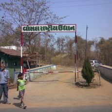
Nandurbar reflects the life of tribal communities and local celebrations that bring the town together. During festivals, the streets fill with traditional dress, music, and shared meals, while local markets remain central gathering spaces where people exchange goods and stories throughout the day.
The best time to visit is during the dry and cool winter months when weather is pleasant for exploring. The city is easily reached by bus or car since the nearest railway station is about 90 miles away in Jalgaon, and the closest airport is even farther in Vadodara.
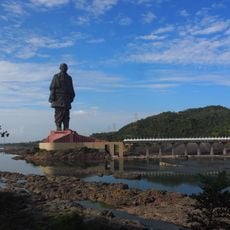
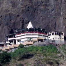
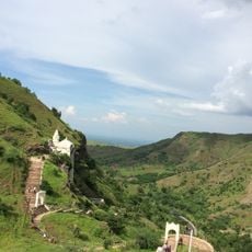
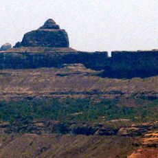
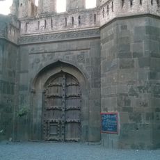
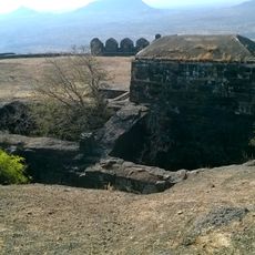
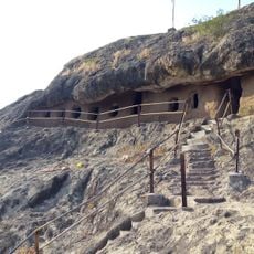
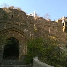
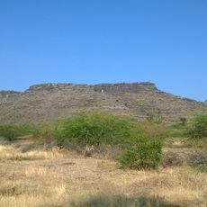
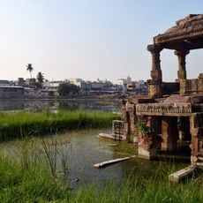
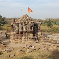
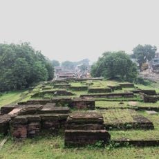
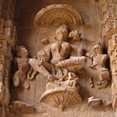
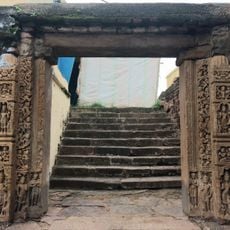
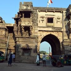
Nandurbar was historically a meeting point between tribal cultures and diverse faiths, a legacy visible today in its various religious sites. The Nandurbar Fort perched on a hill offers visitors a glimpse into this layered past and views of the surrounding landscape.
The community of curious travelers
AroundUs brings together thousands of curated places, local tips, and hidden gems, enriched daily by 60,000 contributors worldwide.