Bardonecchia, Alpine municipality in Piedmont, Italy
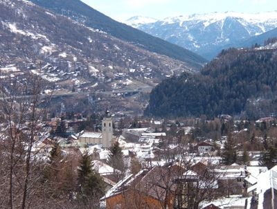
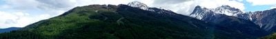
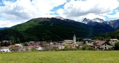
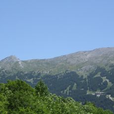
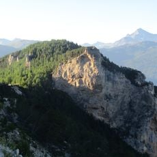
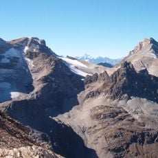
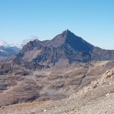
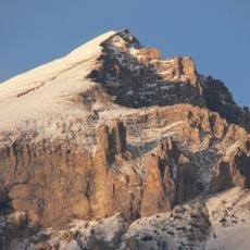
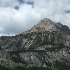
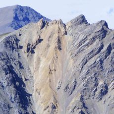
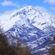
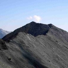
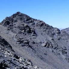
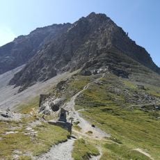
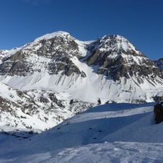
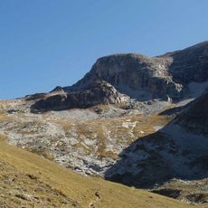
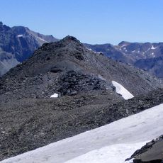
Bardonecchia is a municipality in the Metropolitan City of Turin in Piedmont, extending across four valleys surrounded by peaks rising above 3,000 meters (9,800 feet). The settlement sits at 1,312 meters (4,304 feet) in the western Susa Valley, where several side valleys converge to form a wide basin.
Construction of the Fréjus Rail Tunnel during the 19th century transformed this place from a small mountain village into a major transport junction between Italy and France. Opening of the tunnel brought workers, engineers, and travelers into the valleys, reshaping the regional economy permanently.
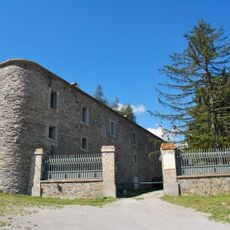
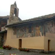
The municipality takes its name from a Celtic word meaning water, reflecting the streams that flow from surrounding glaciers through the valleys. Locals gather in the cafés along the main street, while hikers stock up on supplies in the small shops lining the narrow lanes.
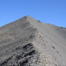
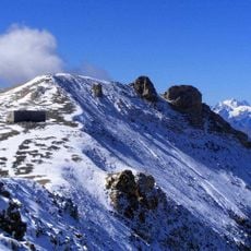
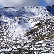
The municipality offers year-round outdoor activities, with ski areas operating in winter and trail networks for hiking and mountain biking in summer. Higher trails are best visited after the snowmelt in late spring, when pass roads reopen for access.
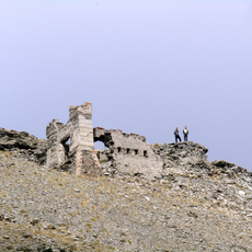
This place hosted snowboarding competitions during the 2006 Winter Olympics, drawing international athletes into its mountains. Starting in 1985, it also developed sport climbing through the Sportroccia events, which attracted climbers from across Europe and established new routes on the rock faces.
The community of curious travelers
AroundUs brings together thousands of curated places, local tips, and hidden gems, enriched daily by 60,000 contributors worldwide.