Tatra Mountains

Log in to your account

AroundUs is a community-driven map of interesting places, built by curious explorers like you. It grows with every review, story, and photo you share.
Connect to save your favorite spots, contribute locations, and create personalized routes.
Continue with Google
Continue with Apple
Continue with X
Continue with Facebook
Continue with email
By continuing, you accept our Terms and Conditions and our Privacy Policy
Create an account
Add to collection
Map
Suggest a change
Share

Tatra Mountains, Mountain range between Poland and Slovakia

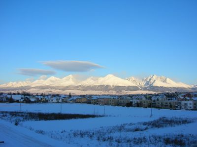
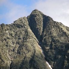
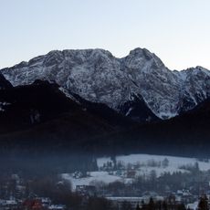
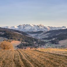
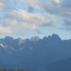
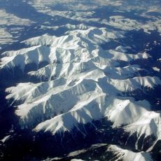
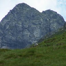
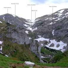
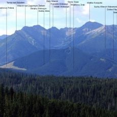
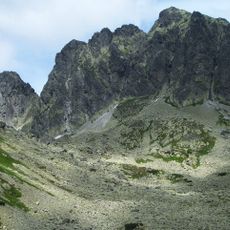
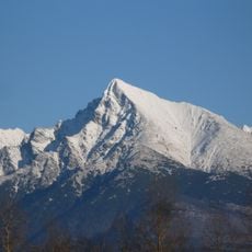
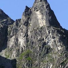
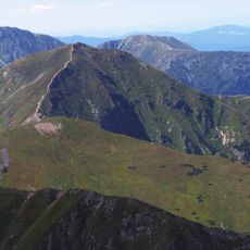
The Tatra Mountains form a range between Poland and Slovakia with over three hundred named summits, steep limestone walls and heights reaching 2655 meters. The landscape includes glacial lakes, rugged rock faces and wide high valleys stretching 57 kilometers along the border.

The first written mention of these mountains dates to the year 999 under the name Tritri montes, documenting their early importance in European geography. During the 20th century, national parks were established on both sides to protect the area from overuse and preserve its nature.

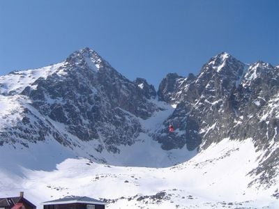
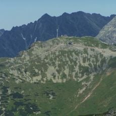
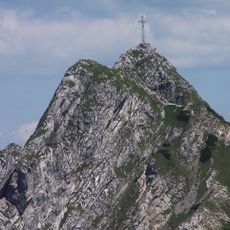
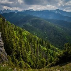
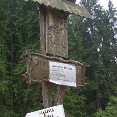
The high plateaus, divided into six valleys, still carry Polish and Slovak names that recall old shepherd routes and grazing grounds. Hikers often encounter wooden crosses and small chapels along the trails, reflecting the deep reverence for the mountain world held by people from both countries.

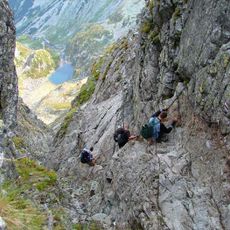
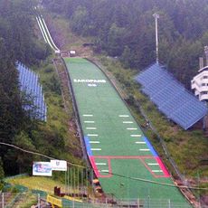
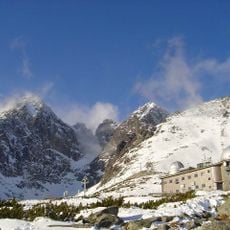
Several cable cars lead to the summits, including the connection to Kasprowy Wierch at 1960 meters, which operates throughout the year. Visitors should wear sturdy footwear and be prepared for rapid weather changes, as conditions at higher altitudes remain changeable even in summer.

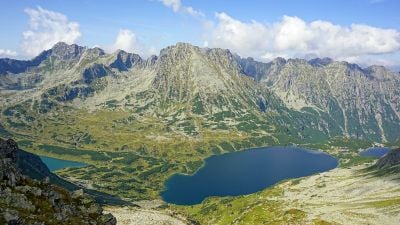
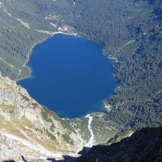
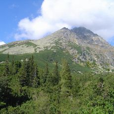
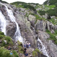
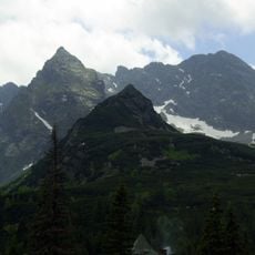
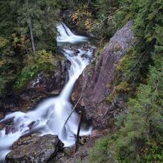
Over one hundred alpine lakes lie scattered across the valleys and cirques, some of them only a few meters wide and surrounded by steep rock walls. Within the five distinct altitude zones live chamois, marmots and brown bears, all adapted to the changing climatic conditions.

Location: Vysoké Tatry

Location: okres Poprad

Elevation above the sea: 2,654 m

Part of: Western Carpathians

Website: http://spravatanap.sk

GPS coordinates: 49.20056,19.97389

Latest update: December 15, 2025 04:45

Photos
Little Poland and the Carpathians: medieval castles, salt mines and historic towns

The south of Poland stretches between Krakow and the Carpathians. There are medieval castles on cliffs, salt mines that became real underground towns since the 13th century, and wooden churches protected by UNESCO. The national parks have trails through gorges and beech forests. The thermal baths...

Reviews

Visited this place? Tap the stars to rate it and share your experience / photos with the community! Try now! You can cancel it anytime.

« Tatra Mountains - Mountain range between Poland and Slovakia » is provided by Around Us (aroundus.com). Images and texts are derived from Wikimedia project under a Creative Commons license. You are allowed to copy, distribute, and modify copies of this page, under the conditions set by the license, as long as this note is clearly visible.

Discover hidden gems everywhere you go!

From secret cafés to breathtaking viewpoints, skip the crowded tourist spots and find places that match your style. Our app makes it easy with voice search, smart filtering, route optimization, and insider tips from travelers worldwide. Download now for the complete mobile experience.

Around Us App Screenshot

A unique approach to discovering new places

Le Figaro

All the places worth exploring

France Info

A tailor-made excursion in just a few clicks

20 Minutes