Potomac River, River system in Mid-Atlantic Region, United States
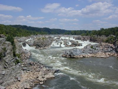
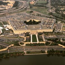
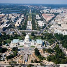
The Potomac River is a waterway in the Mid-Atlantic United States flowing from the Appalachian Mountains through Maryland, Virginia, and West Virginia to the Chesapeake Bay. It runs through the nation's capital, Washington, D.C., and forms the border between Maryland and Virginia for much of its course.
During the Civil War, the river served as a natural border between Union and Confederate lands, with the Union's main fighting force taking its name from these waters. As early as the late 18th century, George Washington proposed plans for a canal along the river to ease trade between the coast and the interior.
The river draws rowers, kayakers, and anglers who regularly use its sections, especially on weekends during spring and summer. Local communities organize annual cleanup events along the banks, where volunteers gather to protect and maintain the waterway.
Visitors can explore the Chesapeake & Ohio Canal National Historic Park along the river, which offers hiking trails, boat tours, and wildlife observation points. The river is best accessed during calm weather, though strong currents and seasonal flooding can change conditions at certain times of the year.
The Mallows Bay section contains a collection of World War I-era shipwrecks that are partly visible above the waterline. This is the first marine sanctuary in the entire river system and attracts divers and history enthusiasts looking to explore the sunken wooden hulls.
The community of curious travelers
AroundUs brings together thousands of curated places, local tips, and hidden gems, enriched daily by 60,000 contributors worldwide.