Monroe County, Administrative county in northeastern Pennsylvania, United States
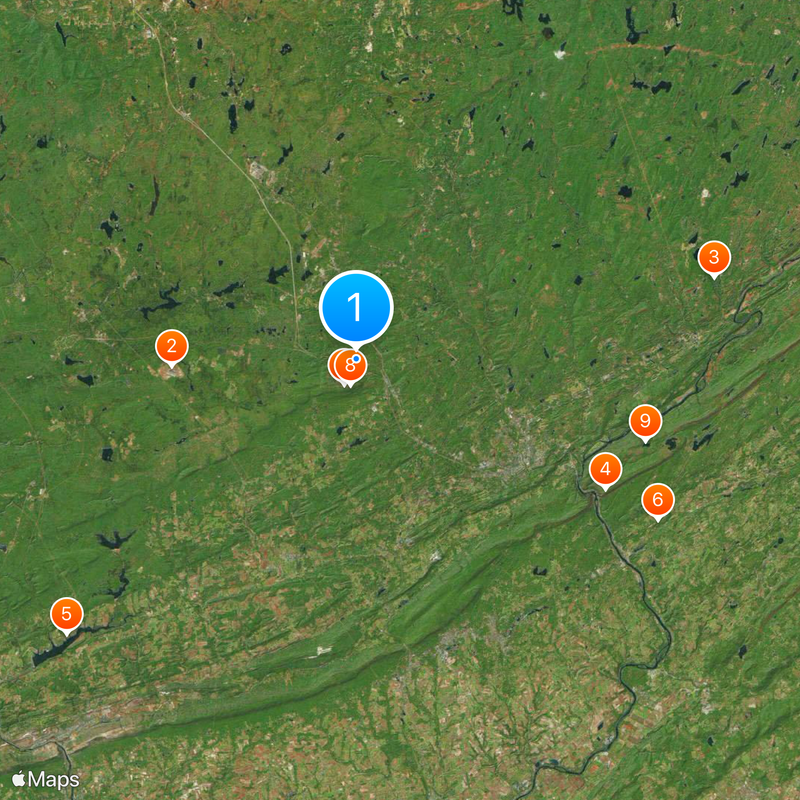
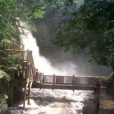
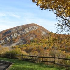
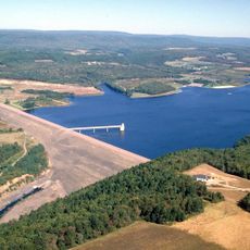
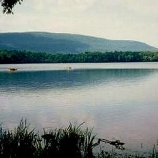
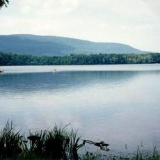
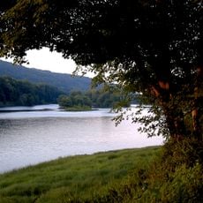
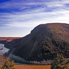
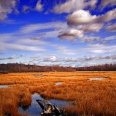
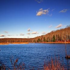
Monroe County is an administrative unit in northeastern Pennsylvania that extends across valleys and mountain ranges of the Pocono region. The territory includes the Delaware Water Gap National Recreation Area and numerous state parks covering around 1,598 square kilometers (617 square miles).
The territory was formed on April 1, 1836, from portions of Northampton County and Pike County. Its creation followed a period of population growth in northeastern Pennsylvania during the early national era.
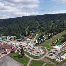
The area carries the name of James Monroe, the fifth United States President, and still shows its connection to the Pocono Mountains today. Local communities regularly organize folk festivals and seasonal gatherings that shape daily life across valleys and highlands.
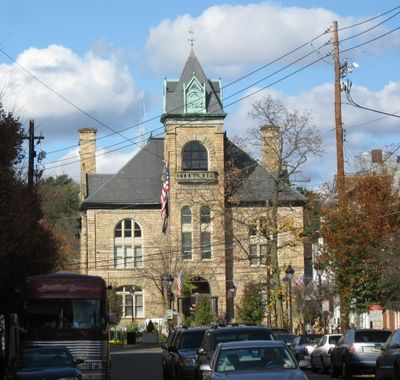
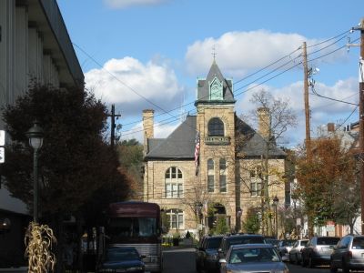
Stroudsburg serves as the seat of government with courts, property records, and offices for more than 168,000 residents. Visitors find public facilities in the center of town, where most administrative services are offered.
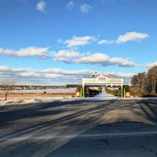
Tobyhanna Army Depot within the territory employs several thousand workers and ranks as the region's largest employer. The facility specializes in repairing and fabricating electronic systems for military purposes.
Location: Pennsylvania
Inception: April 1, 1836
Capital city: Stroudsburg
Shares border with: Wayne County, Pike County, Sussex County, Warren County, Northampton County, Carbon County, Luzerne County, Lackawanna County
Website: http://co.monroe.pa.us
GPS coordinates: 41.06000,-75.34000
Latest update: December 5, 2025 16:37
Pocono Raceway
14.4 km
Bushkill Falls
28.4 km
Mount Tammany
21.7 km
Beltzville State Park
31 km
Paulinskill Viaduct
26.5 km
Camelback Mountain
2.2 km
Big Pocono State Park
2.1 km
Sunfish Pond
23.3 km
Delaware Water Gap Toll Bridge
19.5 km
Camelbeach Waterpark
1.7 km
Tobyhanna State Park
20.1 km
Delaware River Viaduct
23.9 km
Sherman Theater
14.9 km
Worthington State Forest
22.6 km
Mount Minsi
21 km
Gouldsboro State Park
19.4 km
Tannersville Cranberry Bog
7.1 km
Delaware State Forest
16.2 km
Pinemere Camp
6.7 km
Pahaquarry Copper Mine
26.3 km
Kalahari Indoor Waterpark
6.3 km
Cherry Valley National Wildlife Refuge
20.1 km
Minisink Archaeological Site
29.4 km
Weona Park Carousel
22.4 km
Pocono Manor Historic District
8.3 km
Riverton–Belvidere Bridge
33.5 km
Darlington's Bridge at Delaware Station
28.6 km
Portland–Columbia Pedestrian Bridge
25.5 kmVisited this place? Tap the stars to rate it and share your experience / photos with the community! Try now! You can cancel it anytime.
Discover hidden gems everywhere you go!
From secret cafés to breathtaking viewpoints, skip the crowded tourist spots and find places that match your style. Our app makes it easy with voice search, smart filtering, route optimization, and insider tips from travelers worldwide. Download now for the complete mobile experience.
A unique approach to discovering new places❞
— Le Figaro
All the places worth exploring❞
— France Info
A tailor-made excursion in just a few clicks❞
— 20 Minutes