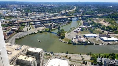
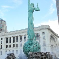
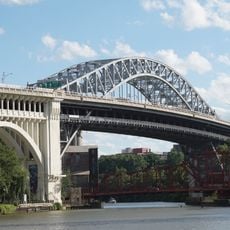
Cuyahoga River, River in Northeast Ohio, United States
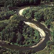
The Cuyahoga River winds for 100 miles (160 kilometers) through the northeastern part of Ohio, tracing a pronounced U-shape before it reaches Lake Erie near Cleveland. Its banks shift between gentle hills and flat terrain, with several bends along the way.
Industrial waste and oil buildup caused several fires on the water during the 20th century, with the 1969 event helping establish the Environmental Protection Agency. Since then, cleanup efforts have improved the water quality significantly.
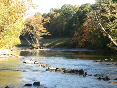
The name comes from Native American languages, possibly meaning bent stream or jawbone in Mohawk and Seneca. Today anglers and paddlers use the restored waterway that winds through wooded valleys and open fields.
The waterway supports more than 40 fish species and offers fishing and boating opportunities through designated sections in Cuyahoga Valley National Park. Trails along the banks provide easy access to different stretches.
The direction of flow reversed from southward to northward during the last ice age, about 12,000 years ago, as glaciers reshaped the landscape. This shift altered the entire drainage pattern of the region.
The community of curious travelers
AroundUs brings together thousands of curated places, local tips, and hidden gems, enriched daily by 60,000 contributors worldwide.