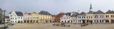
Bruntál District, Administrative district in Moravian-Silesian Region, Czech Republic
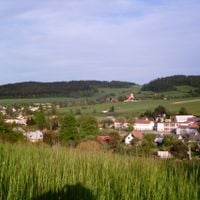
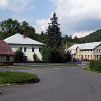
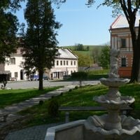
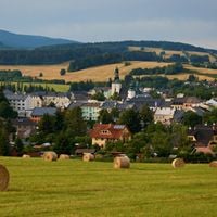
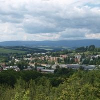
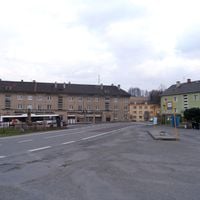
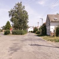
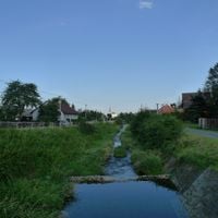
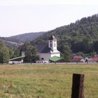
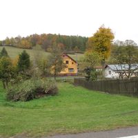
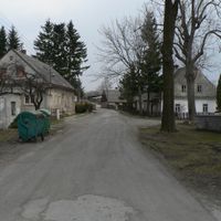
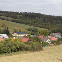
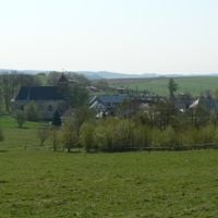
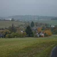
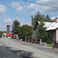
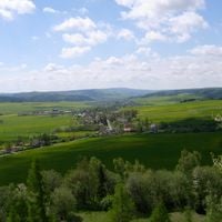
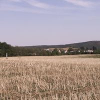
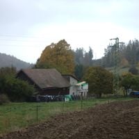
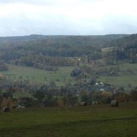
Bruntál District spreads across 67 municipalities covering roughly 1,500 square kilometers of rolling and forested land in the northern part of Moravia. The area features varied elevations with several notable peaks throughout its territory.
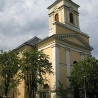
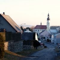
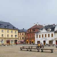
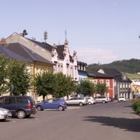
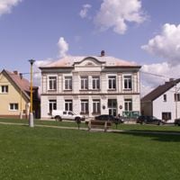
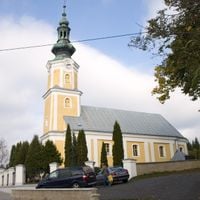
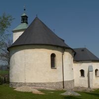
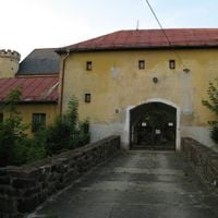
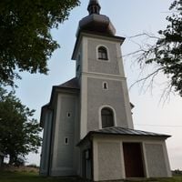
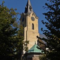
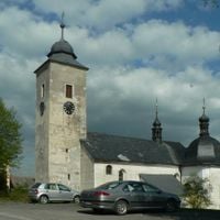
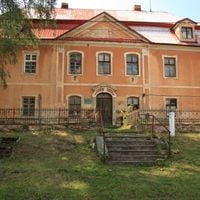
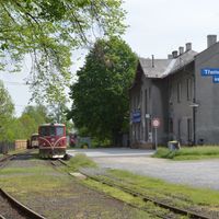
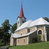
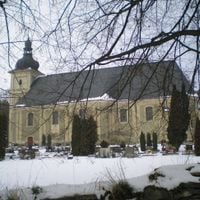
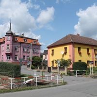
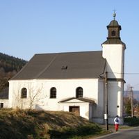
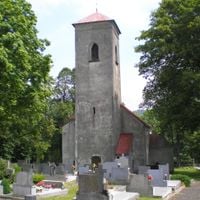
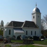
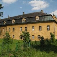
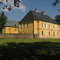
The area began as a medieval settlement and later developed into an important industrial and trading center under the Habsburg rulers. Over the centuries, the region attracted workers in mining and crafts who shaped its economic life.
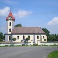
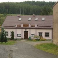
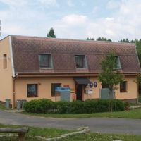
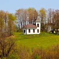
The region holds traditions of textile making and mining that families have passed down for generations, visible in local workshops today. People here keep old festivals and customs alive that mark the calendar and show deep roots in the land.
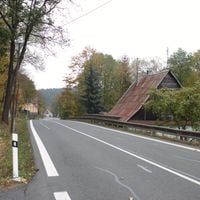
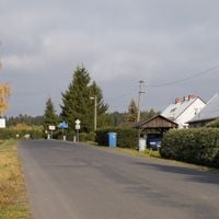
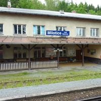
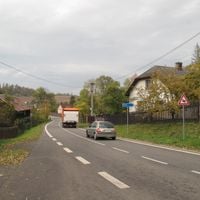
The region connects to other areas through two main roads and regular bus services link the larger towns throughout the district. Visitors should allow extra time for travel between scattered communities since everything spreads across a wide territory.
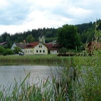
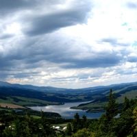
A large reservoir in the territory collects water from surrounding highlands and serves water supply plus leisure for the entire northern region. The area developed under strong influence of textile work and later mining, which was central to local communities.
Location: Moravian-Silesian Region
Location: North Moravia region
Capital city: Bruntál
Shares border with: Opava District, Olomouc District, Šumperk District, Jeseník District
GPS coordinates: 49.98806,17.46417
Latest update: December 10, 2025 15:56
Statue of Unity
5782.3 km
Kaaba
3736.4 km
Angkor Wat
8624.2 km
Mount Kilimanjaro
6207.5 km
Antilia
5956.5 km
Narendra Modi Stadium
5601.6 km
Merdeka 118
9338.5 km
Ajanta Caves
6026.8 km
Uluru
13811.2 km
Sydney Opera House
15890 km
Kalambo
6657.4 km
Petronas Towers
9337.9 km
Gateway of India
5962.2 km
Jagannath Temple
6806.3 km
Borobudur
10862.2 km
Victoria Falls
7605 km
Black Stone
3736.4 km
Konark Sun Temple
6819.3 km
Padmanabhaswamy Temple
7141.7 km
Brihadisvara Temple
7091.3 km
Adiyogi Shiva statue
6909.6 km
Hampi
6516.5 km
Western Ghats
7002.4 km
Charminar
6486.3 km
Taal Volcano
9767.1 km
Meenakshi Temple
7096.4 km
Pinatubo
9624.9 kmVisited this place? Tap the stars to rate it and share your experience / photos with the community! Try now! You can cancel it anytime.
Vrbno pod Pradědem
Malá Morávka
Úvalno
Zátor
Andělská Hora
Heřmanovice
Nová Pláň
Křišťanovice
Nové Heřminovy
Slezské Rudoltice
Bohušov
Ryžoviště
Liptaň
Bruntál
Rýmařov
Město Albrechtice
Břidličná
Janov
Světlá Hora
Dolní Moravice
Dvorce
Dívčí Hrad
Dětřichov nad Bystřicí
Karlovice
Hlinka
Holčovice
Horní Benešov
Horní Město
Stará Ves
Jindřichov
Petrovice
Krasov
Krnov
Slezské Pavlovice
Tvrdkov
Lichnov
Bílčice
Třemešná
Leskovec nad Moravicí
Osoblaha
Staré Město
Jiříkov
Horní Životice
Roudno
Razová
Rudná pod Pradědem
Staré Heřminovy
Svobodné Heřmanice
Mezina
Karlova Studánka
Valšov
Ludvíkov
Dlouhá Stráň
Lomnice
Malá Štáhle
Moravskoslezský Kočov
Václavov u Bruntálu
Vysoká
Rusín
Čaková
Milotice nad Opavou
Široká Niva
Velká Štáhle
Hošťálkovy
Býkov-Láryšov
Brantice
Oborná
správní obvod obce s rozšířenou působností Bruntál
správní obvod obce s rozšířenou působností Rýmařov
správní obvod obce s rozšířenou působností Krnov
Discover hidden gems everywhere you go!
From secret cafés to breathtaking viewpoints, skip the crowded tourist spots and find places that match your style. Our app makes it easy with voice search, smart filtering, route optimization, and insider tips from travelers worldwide. Download now for the complete mobile experience.
A unique approach to discovering new places❞
— Le Figaro
All the places worth exploring❞
— France Info
A tailor-made excursion in just a few clicks❞
— 20 Minutes