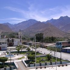
Chimbote District, Administrative district in Santa Province, Peru
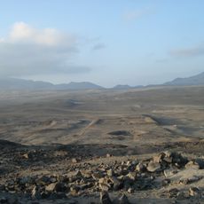
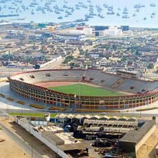
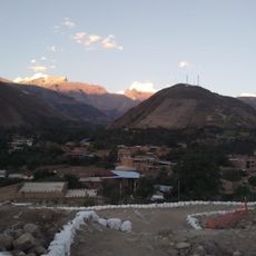
Chimbote is a district along the Pacific coast in Santa Province, covering a flat coastal area with low elevation. The area is now defined by extensive fish processing operations and steel production that form the backbone of its economy.
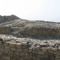
The area transformed from a small fishing village of a few hundred residents in the early 1800s into an important industrial center. The change accelerated during World War II when fish canning operations expanded rapidly and reshaped the entire region.
The June celebrations honoring San Pedrito reveal how deeply the community's identity is tied to fishing traditions. Processions through the streets show gratitude and respect that locals hold for the sea and their maritime heritage.
The best time to visit is during the dry months when conditions are most pleasant. There is much to explore regarding local industry and harbor activities, but wear comfortable clothes and protect yourself from the sun throughout your time there.
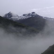
The climate here is shaped by the Humboldt current, which brings cold water from the south and creates unusually cool conditions for this latitude. This enabled the rise of the fishing industry, as the water conditions concentrate fish stocks and are favorable for preservation.
The community of curious travelers
AroundUs brings together thousands of curated places, local tips, and hidden gems, enriched daily by 60,000 contributors worldwide.