Guadalupe District

Log in to your account

AroundUs is a community-driven map of interesting places, built by curious explorers like you. It grows with every review, story, and photo you share.
Connect to save your favorite spots, contribute locations, and create personalized routes.
Continue with Google
Continue with Apple
Continue with X
Continue with Facebook
Continue with email
By continuing, you accept our Terms and Conditions and our Privacy Policy
Create an account
Add to collection
Map
Suggest a change
Share

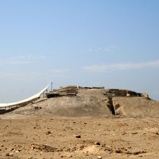
Guadalupe District, Administrative district in Pacasmayo Province, Peru

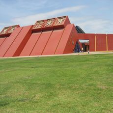
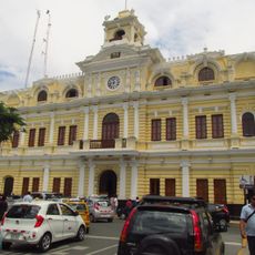
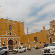
Guadalupe District is an administrative division in Pacasmayo Province and covers rural and agricultural areas across northern Peru. The main city of Guadalupe serves as the district's center, situated in a valley and functioning as the local hub for the surrounding communities.

The district was established through Peruvian administrative reforms following independence and created local governance structures within Pacasmayo Province. This territorial organization enabled effective management of the growing rural and urban areas in the region.

The local university shapes daily life through its academic programs and brings students from across the region to study here. The institution serves as a significant employer and influences how the community functions throughout the year.

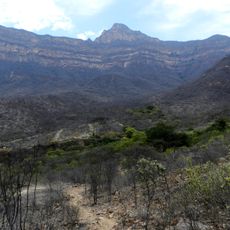
The area is best visited during the drier months when travel and exploring are easier throughout the district. Being a rural region, visitors should prepare for limited urban services and expect to travel between scattered communities.

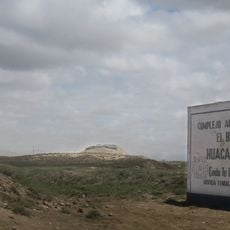
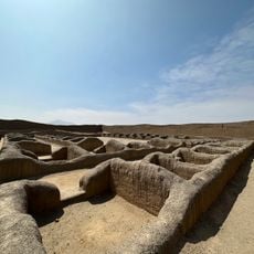
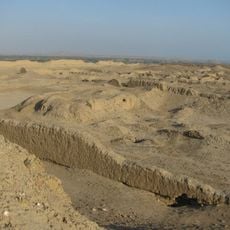
The district contains several separate towns like Ciudad de Dios and Limoncarro, each with its own character and role in the community. These distinct settlements make the territory more varied than a single urban center would suggest.

Location: Pacasmayo Province

Capital city: Guadalupe

Elevation above the sea: 92 m

Shares border with: Pueblo Nuevo District, Chepén District, San José District, Jequetepeque District

Website: http://muniguadalupe.gob.pe/portal

GPS coordinates: -7.24333,-79.47069

Latest update: December 7, 2025 20:40

Photos
Reviews

Visited this place? Tap the stars to rate it and share your experience / photos with the community! Try now! You can cancel it anytime.

« Guadalupe District - Administrative district in Pacasmayo Province, Peru » is provided by Around Us (aroundus.com). Images and texts are derived from Wikimedia project under a Creative Commons license. You are allowed to copy, distribute, and modify copies of this page, under the conditions set by the license, as long as this note is clearly visible.

Discover hidden gems everywhere you go!

From secret cafés to breathtaking viewpoints, skip the crowded tourist spots and find places that match your style. Our app makes it easy with voice search, smart filtering, route optimization, and insider tips from travelers worldwide. Download now for the complete mobile experience.

Around Us App Screenshot

A unique approach to discovering new places

Le Figaro

All the places worth exploring

France Info

A tailor-made excursion in just a few clicks

20 Minutes