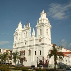
Marabá, Industrial municipality in Pará, Brazil.
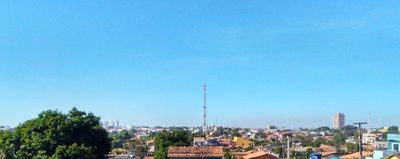
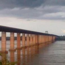
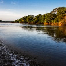
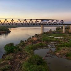
Marabá is a municipality at the confluence of the Tocantins and Itacaiunas rivers in Pará, spreading over more than fifteen thousand square kilometers. From above, the two rivers form a Y shape that divides the urban areas into separate sections.
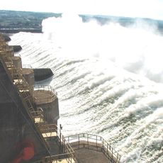
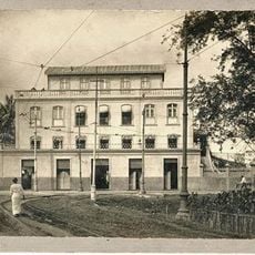
The settlement began in 1894 when Carlos Leitao established a camp on the Itacaiunas riverbank, which later grew into the village of Burgo do Itacayúna. The discovery of mineral deposits in Carajás transformed the place from a rubber and Brazil nut extraction center into an industrial hub.
The name comes from the indigenous term Mayr-Abá, referring to children born from unions between native women and European men. This linguistic origin recalls the early encounters between different population groups in the region.
Buses run regularly between the different districts, making it possible to navigate without a personal vehicle. The rides are affordable and cover the entire urban area.
The shape of the city follows the course of two large rivers, creating a pattern that looks like a large Y from above. This natural division still shapes the daily movements and spatial layout of the residents today.
Location: Pará
Inception: 1809
Elevation above the sea: 84 m
Shares border with: Novo Repartimento, Parauapebas, Bom Jesus do Tocantins, Curionópolis, Eldorado do Carajás, Itupiranga, Nova Ipixuna, Rondon do Pará, São Domingos do Araguaia, São Félix do Xingu, São Geraldo do Araguaia, São João do Araguaia
Website: http://maraba.pa.gov.br
GPS coordinates: -5.36889,-49.11778
Latest update: December 13, 2025 18:21
Tucuruí Dam
180.9 km
Chapada das Mesas National Park
284.3 km
Our Lady of Grace Cathedral
440.8 km
Marabá Combined Bridge
7.4 km
Mangal das Garças
439.9 kmCaverna da Pedra Pintada
402 km
Poço Azul
359.9 km
Cantão State Park
492.3 km
Church Our Lady of Mount Carmel
440.5 km
Espaço São José Liberto
440.2 km
Pedra Caida
262.9 km
Carajás National Forest
139.9 km
Pinho Mansion
440.3 km
Pau do Presidente
416.8 km
Estádio Municipal Zinho de Oliveira
3 km
Caxiuanã National Forest
474 km
Church of Saint John the Baptist
440.8 km
Monumento das Castanheiras Mortas
82.9 km
Gurupi Biological Reserve
318 km
Serra do Pardo National Park
423.6 km
Ponte Juscelino Kubitschek de Oliveira
226.5 km
Palacete Camelier
440.2 kmExtremo Norte do Tocantins Extractive Reserve
128.2 km
Terra do Meio Ecological Station
520 km
Belém Lighthouse
439.8 kmReserva Extrativista Mata Grande
190.3 km
Praça Dom Frei Caetano Brandão
440.9 km
Puente Ferroviario de Estreito MA
226.3 kmVisited this place? Tap the stars to rate it and share your experience / photos with the community! Try now! You can cancel it anytime.
Discover hidden gems everywhere you go!
From secret cafés to breathtaking viewpoints, skip the crowded tourist spots and find places that match your style. Our app makes it easy with voice search, smart filtering, route optimization, and insider tips from travelers worldwide. Download now for the complete mobile experience.
A unique approach to discovering new places❞
— Le Figaro
All the places worth exploring❞
— France Info
A tailor-made excursion in just a few clicks❞
— 20 Minutes