Tamborine Mountain, Volcanic mountain in Scenic Rim Region, Australia.
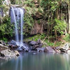
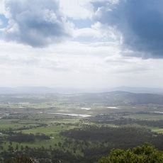
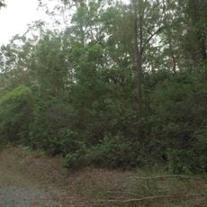
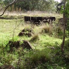
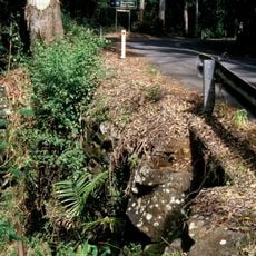
Tamborine Mountain is a volcanic peak in the Scenic Rim Region standing 525 meters high, with many rainforest paths leading to waterfalls across its landscape. The mountain features multiple terrain types and vegetation zones that offer different walking experiences.
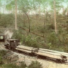
Tamborine Mountain is a lava flow from the Mount Warning volcanic eruption 22 million years ago, rising at the north-east start of the Scenic Rim. The plateau was covered in rainforest and was not opened for selection until 1875; the first selectors settled in 1878. Witches Falls National Park, declared in 1908, was Queensland's first national park.
Gallery Walk along Long Road in Eagle Heights brings together local artists and makers selling handcrafted goods and traditional bushcraft items. This gathering shows how artisans have made this mountain region a creative hub.
Access to the plateau is possible from four lowland points, so alternative routes remain open during flooding or roadworks. The tourist road opened in 1924. The plateau has no reticulated water or sewerage; residents rely on rainwater, bores and septic systems. Curtis Falls and the Knoll are among the marked rainforest tracks.
Tamborine National Park is made up of 12 separate sections of land, mainly remnant rainforest, on the plateau and surrounding foothills. Its first section, Witches Falls, was declared in 1908 and was the first national park in Queensland. The park lies within a 38 km2 Important Bird Area that supports an isolated northern population of Albert's lyrebirds.
The community of curious travelers
AroundUs brings together thousands of curated places, local tips, and hidden gems, enriched daily by 93,021 contributors worldwide.