Chest opened
+${chestReward.xp} XP
Explorer
NOUVEAU ×${chestReward.collectible.quantity}
tapez pour fermer
Chest locked

Open chests in the app

Around Us is built for your phone — chests unlock when you walk, explore and capture nearby places.

Enable Location

We need your location to show you interesting places around you

Discover nearby places

Find interesting locations and hidden gems around you

Precise directions

Get accurate directions and distances to places

Your location is never shared with other users. It's only used when you tap the location button.

Log in to your account

Start exploring — it's free

Trusted by 72,958 travelers worldwide

Continue with Google
Continue with Apple
or

We will send you a code to connect

By continuing, you accept our Terms and Conditions and our Privacy Policy

Check your inbox

We've sent a pincode in your inbox. Please enter the code below.

Southwest Alaska
Discussion Reviews Photo
14.6k Popularity

Southwest Alaska, Geographic region in southwestern Alaska, US

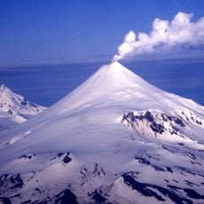
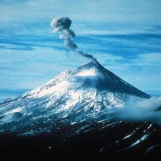
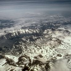
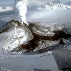
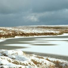
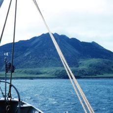
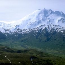
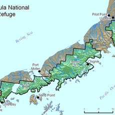
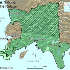
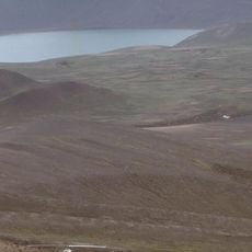
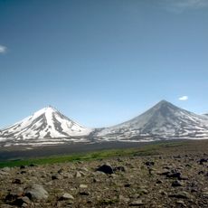
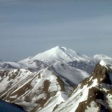
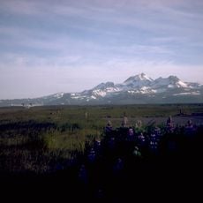
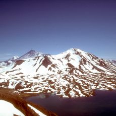
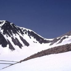
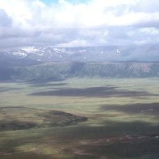
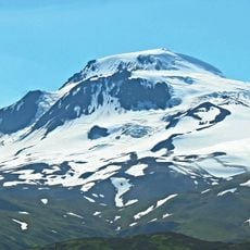
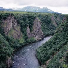
Southwest Alaska extends from the Bering Sea to Cook Inlet, encompassing the Alaska Peninsula, Bristol Bay, and the Aleutian Islands. These areas form a vast coastal region with mountainous terrain and numerous waterways.

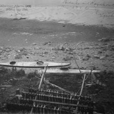
The region served as a strategic military location during World War II, with Japanese forces occupying parts of the Aleutian Islands in 1942. This occupation was the only experience of foreign territory on American soil during the war.

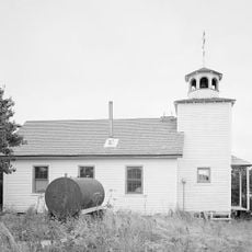
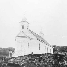
Native communities here maintain traditional fishing practices, passing down salmon harvesting methods through multiple generations.

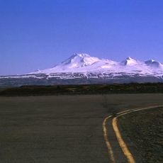
Transportation between settlements relies mainly on small aircraft and seasonal water routes, as road connections do not exist. Visitors should plan their travel according to these limited transport options and seasonal conditions.

Bristol Bay holds the world's largest sockeye salmon fishery, producing millions of fish each season. This fishing resource draws commercial and scientific interest from around the world.

The community of curious travelers

AroundUs brings together thousands of curated places, local tips, and hidden gems, enriched daily by 60,000 contributors worldwide.

Start exploring
Location
GPS coordinates
56.80000,-162.23333
Latest update
March 5, 2026 18:16
Around this place
Mount Shishaldin
United States of America

Mount Shishaldin

252.1 km
Mount Pavlof
United States of America

Mount Pavlof

155.4 km
Mount Aniakchak
United States of America

Mount Aniakchak

245.2 km
Aniakchak National Monument and Preserve
United States of America

Aniakchak National Monument and Preserve

251.4 km
Mount Veniaminof
United States of America

Mount Veniaminof

187.2 km
Izembek National Wildlife Refuge
United States of America

Izembek National Wildlife Refuge

175.5 km
Amak Volcano
United States of America

Amak Volcano

163.9 km
Mount Chiginagak
United States of America

Mount Chiginagak

320.2 km
Alaska Peninsula National Wildlife Refuge
United States of America

Alaska Peninsula National Wildlife Refuge

218.2 km
Togiak National Wildlife Refuge
United States of America

Togiak National Wildlife Refuge

305.2 km
Fisher Caldera
United States of America

Fisher Caldera

273 km
Cape Sarichef Light
United States of America

Cape Sarichef Light

297.7 km
Pavlof Sister
United States of America

Pavlof Sister

151.3 km
Mount Dutton
United States of America

Mount Dutton

181.7 km
Cold Bay Volcano
United States of America

Cold Bay Volcano

196.5 km
Mount Emmons
United States of America

Mount Emmons

162.7 km
Mount Dana
United States of America

Mount Dana

144.5 km
Izembek Wilderness
United States of America

Izembek Wilderness

172.3 km
Ugashik River
United States of America

Ugashik River

313.5 km
Frosty Volcano
United States of America

Frosty Volcano

194.6 km
Holy Resurrection Church
United States of America

Holy Resurrection Church

191.3 km
St. Nicholas Chapel
United States of America

St. Nicholas Chapel

195.4 km
Mount Roundtop
United States of America

Mount Roundtop

238.6 km
Transfiguration of Our Lord Chapel
United States of America

Transfiguration of Our Lord Chapel

326 km
St. Nicholas Church
United States of America

St. Nicholas Church

282.2 km
Kemuk River
United States of America

Kemuk River

336.9 km
Scotch Cap Light
United States of America

Scotch Cap Light

310.9 km
Scotch Cap Light
United States of America

Scotch Cap Light

310.9 km
Show the full map
Reviews
Share your experience

No review yet

Discussions
Start a discussion...

No discussion yet

« Southwest Alaska - Geographic region in southwestern Alaska, US » is provided by Around Us (aroundus.com). Images and texts are derived from Wikimedia project under a Creative Commons license. You are allowed to copy, distribute, and modify copies of this page, under the conditions set by the license, as long as this note is clearly visible.

Discover hidden gems everywhere you go!

From secret cafés to breathtaking viewpoints, skip the crowded tourist spots and find places that match your style. Our app makes it easy with voice search, smart filtering, route optimization, and insider tips from travelers worldwide. Download now for the complete mobile experience.

Around Us App Screenshot

A unique approach to discovering new places

Le Figaro

All the places worth exploring

France Info

A tailor-made excursion in just a few clicks

20 Minutes

Around Us
Travel Guide & Maps
Download

Send to your phone

QR Code
1

Open the camera app on your mobile.

2

Point at the QR code with your camera. A notification will appear.

3

Tap the notification to open the link.