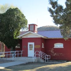
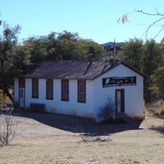
Sonoita, Census-designated place in Santa Cruz County, Arizona
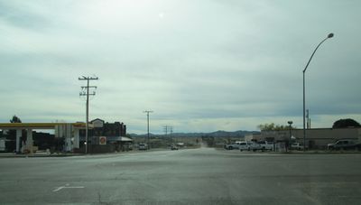
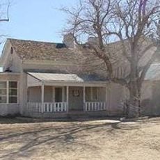
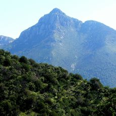
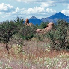
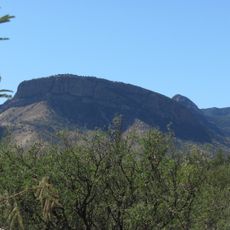
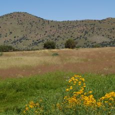
Sonoita is a small community in Santa Cruz County, Arizona, located at an elevation of around 1,500 meters where State Routes 83 and 82 intersect. The settlement sits near the Santa Rita Mountains in southern Arizona.
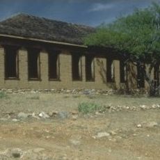
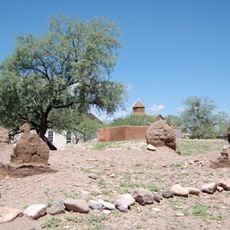
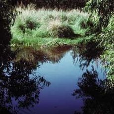
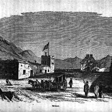
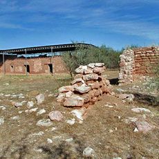
The name comes from the O'odham language term meaning spring field, reflecting the region's water traditions. Historic military installations like Fort Crittenden and Fort Buchanan were established nearby, roughly 4 miles to the west.
The community maintains a population of 803 residents as of 2020, with 89.6 percent identifying as White and 16.7 percent as Hispanic or Latino.
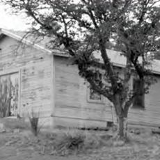
The area is easily accessible by car, positioned at the intersection of two main routes in rural Arizona. Visitors should expect a quiet, open landscape experience with limited commercial services typical of small communities.
The settlement operates in Mountain Time Zone without observing Daylight Saving Time, maintaining consistent time throughout the year.
The community of curious travelers
AroundUs brings together thousands of curated places, local tips, and hidden gems, enriched daily by 60,000 contributors worldwide.