
Chacsinkín Municipality, municipality in Mexico
Location: Yucatán
Inception: January 17, 1918
Capital city: Chacsinkín
Website: http://chacsinkin.gob.mx
GPS coordinates: 20.20000,-89.01667
Latest update: April 21, 2025 17:17
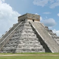
Chichen Itza
71.2 km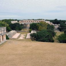
Uxmal
80.8 km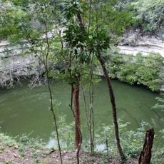
Sacred Cenote
71.7 km
Ik Kil
71.5 km
Temple of Kukulcan
71.2 km
Mayapan
66.6 km
Pyramid of the Magician
80.6 km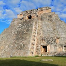
Uxmal Archaeological Zone
80.8 km
El Caracol, Chichen Itza
70.8 km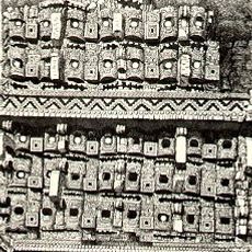
Kabah
66.1 km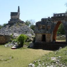
Labna
58.8 km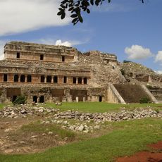
Sayil
66.4 km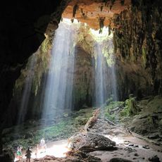
Loltun Cave
46.3 km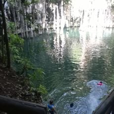
Ring of cenotes
66.4 km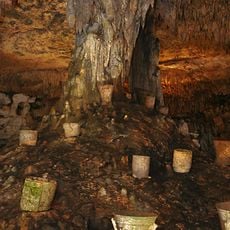
Balankanche
71.6 km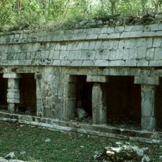
Kiuic
58.4 km
Yaxuna
53 km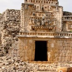
Xlapak
61.9 km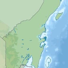
Laguna Chichankanab
45.6 km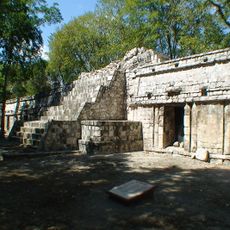
Xtampak
77.3 km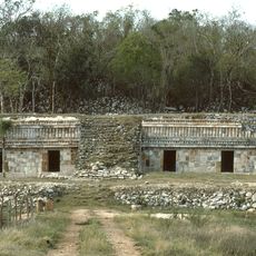
Chacmultun
34.4 km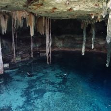
Cenote Kankirixché
80.6 km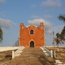
Momias de Santa Elena
66.8 km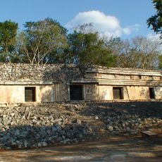
Chunhuhub
81.6 km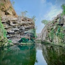
Cenote Santa Barbara
66.8 km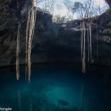
Cenote Noh-Mozon
60.7 km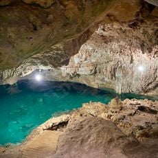
Cenote Pool Uinic
66.8 km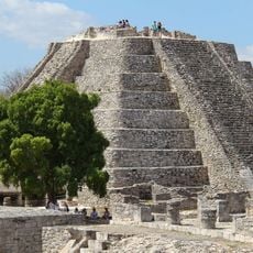
El Castillo, Mayapan
66.6 kmReviews
Visited this place? Tap the stars to rate it and share your experience / photos with the community! Try now! You can cancel it anytime.
Discover hidden gems everywhere you go!
From secret cafés to breathtaking viewpoints, skip the crowded tourist spots and find places that match your style. Our app makes it easy with voice search, smart filtering, route optimization, and insider tips from travelers worldwide. Download now for the complete mobile experience.

A unique approach to discovering new places❞
— Le Figaro
All the places worth exploring❞
— France Info
A tailor-made excursion in just a few clicks❞
— 20 Minutes