Chest opened
+${chestReward.xp} XP
Explorer
NOUVEAU ×${chestReward.collectible.quantity}
tapez pour fermer
Chest locked

Open chests in the app

Around Us is built for your phone — chests unlock when you walk, explore and capture nearby places.

Enable Location

We need your location to show you interesting places around you

Discover nearby places

Find interesting locations and hidden gems around you

Precise directions

Get accurate directions and distances to places

Your location is never shared with other users. It's only used when you tap the location button.

Umpqua National Forest

Log in to your account

Start exploring — it's free

Trusted by 72,940 travelers worldwide

Continue with Google
Continue with Apple
or

We will send you a code to connect

By continuing, you accept our Terms and Conditions and our Privacy Policy

Check your inbox

We've sent a pincode in your inbox. Please enter the code below.

Umpqua National Forest
Discussion Reviews 1 Photos
9.5k Popularity

Umpqua National Forest, National Forest in Cascade Range, Oregon, United States.

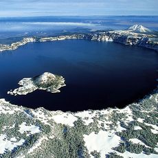
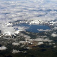
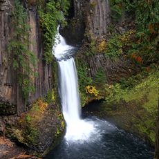
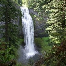
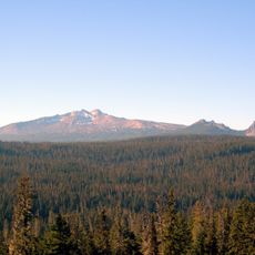
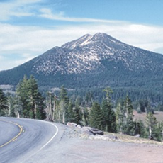
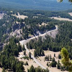
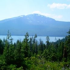
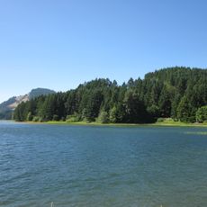
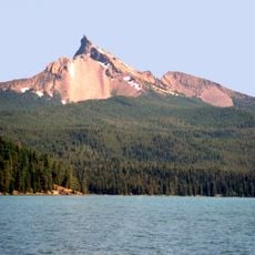
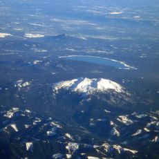
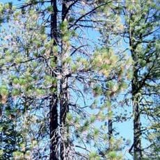
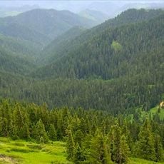
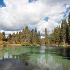
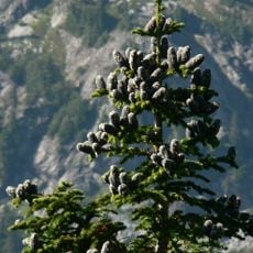
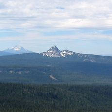
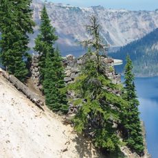
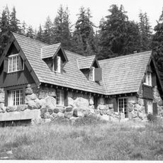
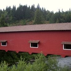
Umpqua National Forest spans southern Oregon with mountains, rivers, and lakes woven throughout its landscape. The forest shows different character in its varied zones, from thick evergreen stands to open ridge areas and river valleys.

The forest became a protected reserve in 1908 when the United States government set it aside for long-term management. This action reflected the growing movement to manage forests sustainably instead of cutting them down without restraint.

The Klamath and Umpqua tribes relied on these woods for hunting and gathering for centuries before European settlement. Visitors today can sense how deeply the land was woven into their way of life.

Four separate ranger districts manage different sections of the forest, with the main office in Roseburg providing visitor information and maps. Before exploring, check local conditions and access since weather and seasonal factors affect which areas are safe to visit.

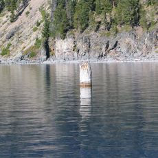
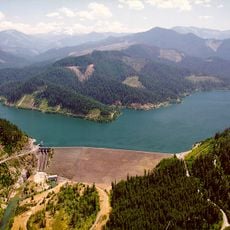
Salmon and steelhead fish travel through the rivers and streams here, some migrating long distances to and from the ocean. These fish are rarely seen but their presence makes the waterways crucial to the health of the entire region.

The community of curious travelers

AroundUs brings together thousands of curated places, local tips, and hidden gems, enriched daily by 60,000 contributors worldwide.

Start exploring
Location
Inception
July 1, 1908
Operator
United States Forest Service
GPS coordinates
43.22250,-122.25400
Latest update
December 10, 2025 15:57
Around this place
Old Man of the Lake
United States of America

Old Man of the Lake

32.8 km
Crater Lake National Park
United States of America

Crater Lake National Park

35.6 km
Mount Mazama
United States of America

Mount Mazama

34 km
Mount Thielsen
United States of America

Mount Thielsen

17.1 km
Toketee Falls
United States of America

Toketee Falls

15.2 km
Crater Lake Lodge
United States of America

Crater Lake Lodge

36 km
Salt Creek Falls
United States of America

Salt Creek Falls

44.5 km
Diamond Peak
United States of America

Diamond Peak

34.3 km
Mount Scott
United States of America

Mount Scott

38.5 km
Rim Drive
United States of America

Rim Drive

35.5 km
Mount Bailey
United States of America

Mount Bailey

8 km
Rim Village Historic District
United States of America

Rim Village Historic District

35.9 km
Watson Falls
United States of America

Watson Falls

11.2 km
Prospect State Scenic Viewpoint
United States of America

Prospect State Scenic Viewpoint

57.4 km
Dorena Reservoir
United States of America

Dorena Reservoir

84.5 km
Mount Thielsen Wilderness
United States of America

Mount Thielsen Wilderness

19.7 km
Diamond Peak Wilderness
United States of America

Diamond Peak Wilderness

33.8 km
Boulder Creek Wilderness
United States of America

Boulder Creek Wilderness

25.6 km
Bohemia Mountain
United States of America

Bohemia Mountain

51 km
Jackson F. Kimball State Recreation Site
United States of America

Jackson F. Kimball State Recreation Site

58.3 km
Watchman Lookout Station
United States of America

Watchman Lookout Station

31.8 km
Rogue–Umpqua Divide Wilderness
United States of America

Rogue–Umpqua Divide Wilderness

24.3 km
Union Peak
United States of America

Union Peak

43.6 km
Hills Creek Reservoir
United States of America

Hills Creek Reservoir

51.8 km
Sinnott Memorial Observation Station
United States of America

Sinnott Memorial Observation Station

35.8 km
Comfort Station No. 72
United States of America

Comfort Station No. 72

35.7 km
Crater Lake Superintendent's Residence
United States of America

Crater Lake Superintendent's Residence

37.1 km
Office Bridge
United States of America

Office Bridge

62.8 km
Show the full map
Reviews
Share your experience

No review yet

Discussions
Start a discussion...

No discussion yet

« Umpqua National Forest - National Forest in Cascade Range, Oregon, United States » is provided by Around Us (aroundus.com). Images and texts are derived from Wikimedia project under a Creative Commons license. You are allowed to copy, distribute, and modify copies of this page, under the conditions set by the license, as long as this note is clearly visible.

Discover hidden gems everywhere you go!

From secret cafés to breathtaking viewpoints, skip the crowded tourist spots and find places that match your style. Our app makes it easy with voice search, smart filtering, route optimization, and insider tips from travelers worldwide. Download now for the complete mobile experience.

Around Us App Screenshot

A unique approach to discovering new places

Le Figaro

All the places worth exploring

France Info

A tailor-made excursion in just a few clicks

20 Minutes

Around Us
Travel Guide & Maps
Download

Send to your phone

QR Code
1

Open the camera app on your mobile.

2

Point at the QR code with your camera. A notification will appear.

3

Tap the notification to open the link.