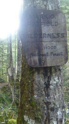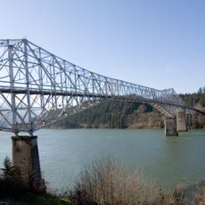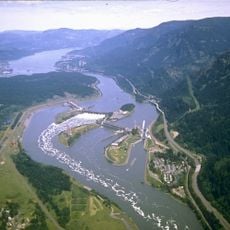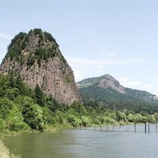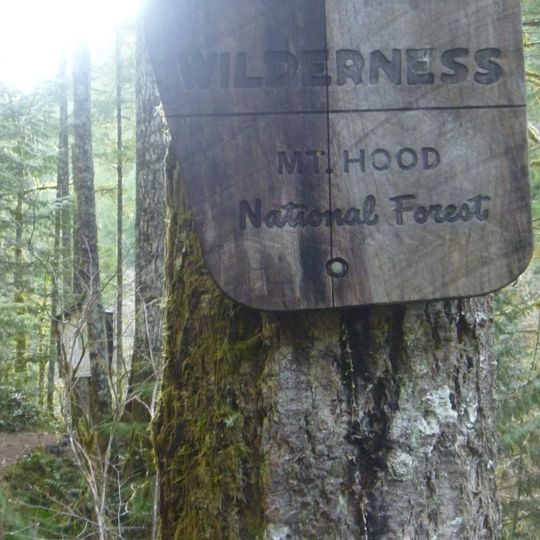
Mark O. Hatfield Wilderness, Protected wilderness area in Mount Hood National Forest, Oregon.
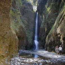
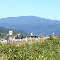
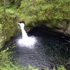
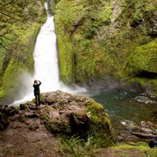
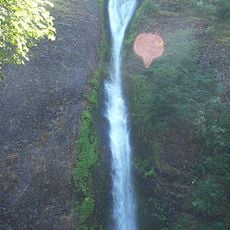
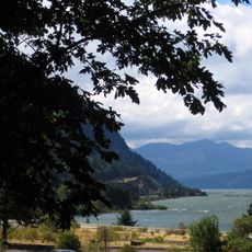
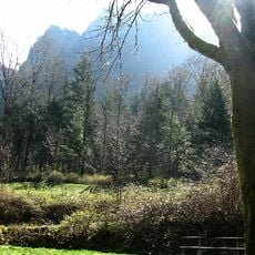
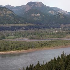
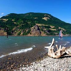
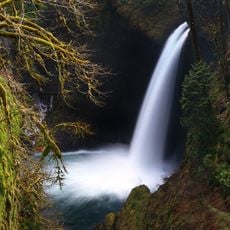
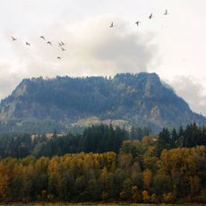
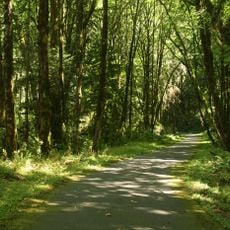
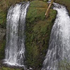
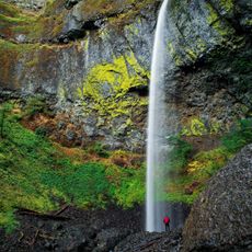
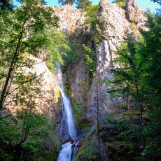
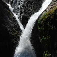
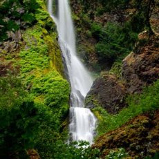
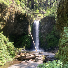
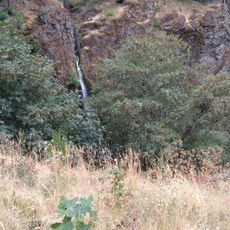
Mark O. Hatfield Wilderness covers the north side of Mount Hood in Mount Hood National Forest, rising from about 100 feet near the Columbia River to 4,900 feet on Mount Defiance. Its north part has towering basaltic cliffs and many waterfalls; higher up are forested plateaus and ridges with hanging meadows and subalpine lakes. Old-growth Douglas-fir, hemlock and cedar grow at lower elevations, and Herman, Eagle and Tanner creeks drain the area.
The area was first managed as the Columbia Gorge Recreation Area within Mount Hood National Forest. It was later redesignated a federal wilderness area and named for Mark Hatfield, former U.S. senator and Oregon governor. The Mark O. Hatfield Wilderness is managed by the U.S. Forest Service.
The area was named for Mark Hatfield, a former U.S. senator and Oregon governor. Before wilderness designation it was called the Columbia Gorge Recreation Area. Today about 200 miles of trails, including some 14 miles of the Pacific Crest Trail, cross it, and the U.S. Forest Service manages the land.
The area is accessible from several entry points around Mount Hood National Forest, each offering different trail options and starting elevations. Visitors should prepare for changing weather, steep elevation changes, and trails that vary widely in difficulty depending on which route they choose.
The waterfalls and cascades here were shaped by volcanic activity that formed the landscape thousands of years ago. This geological history remains visible today in the basalt cliffs and the way water flows across the terrain.
The community of curious travelers
AroundUs brings together thousands of curated places, local tips, and hidden gems, enriched daily by 94,901 contributors worldwide.