Chest opened
+${chestReward.xp} XP
Explorer
NOUVEAU ×${chestReward.collectible.quantity}
tapez pour fermer
Chest locked

Open chests in the app

Around Us is built for your phone — chests unlock when you walk, explore and capture nearby places.

Enable Location

We need your location to show you interesting places around you

Discover nearby places

Find interesting locations and hidden gems around you

Precise directions

Get accurate directions and distances to places

Your location is never shared with other users. It's only used when you tap the location button.

Snake River

Log in to your account

Start exploring — it's free

Trusted by 72,890 travelers worldwide

Continue with Google
Continue with Apple
or

We will send you a code to connect

By continuing, you accept our Terms and Conditions and our Privacy Policy

Check your inbox

We've sent a pincode in your inbox. Please enter the code below.

Snake River
Discussion Reviews 1 Photos
199k Popularity

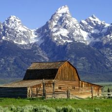
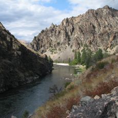
Snake River, River system across Wyoming, Idaho, Oregon and Washington, United States

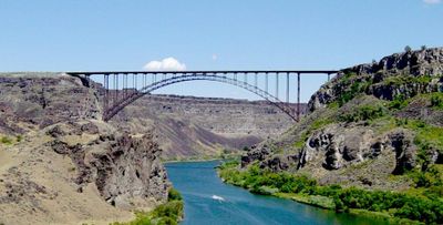
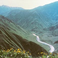
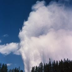
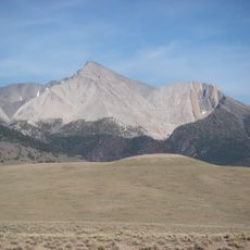
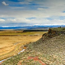
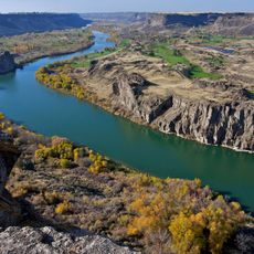
The Snake River extends 1,078 miles from its source in Wyoming through Idaho and Oregon, joining the Columbia River in Washington. The river system crosses mountain terrain, deep canyons, and wide plains, forming several large reservoirs and receiving numerous tributaries along its course.

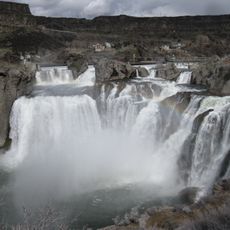
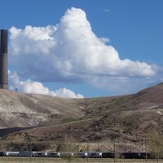
Lewis and Clark documented this waterway in 1805 while searching for a navigable route between the eastern states and the Pacific. Starting in the 1860s, dam construction altered the course significantly, turning long stretches into calm reservoirs for hydropower and irrigation.

The name comes from the Shoshone, who compared the winding riverbed to the movements of a snake. Along the banks, sites still exist where native communities traditionally catch and process salmon, especially during the annual fish runs.

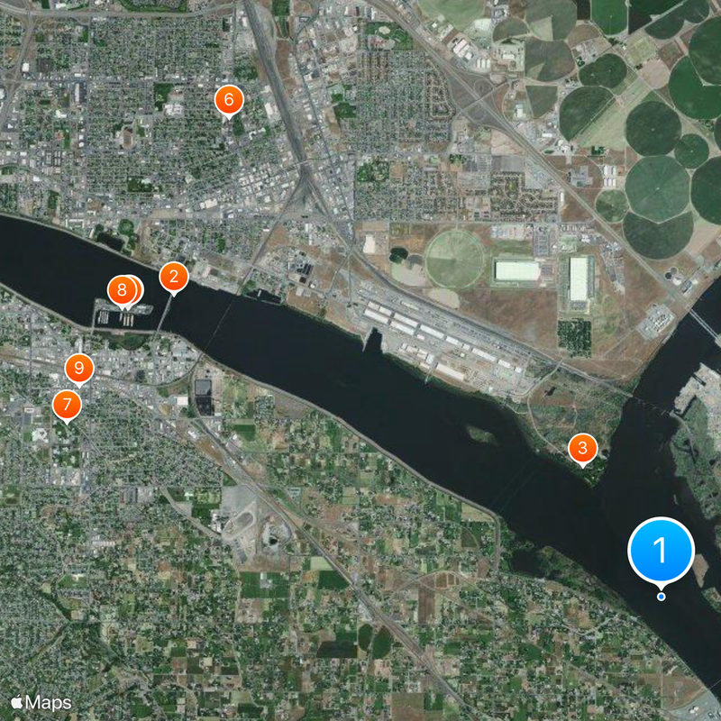
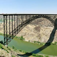
The river system can be observed from many points along the banks, with paved paths and lookouts providing easier access. The best months to visit are spring and fall, when weather is mild and water levels are suitable for outdoor activities.

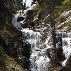
The Salmon River, a tributary, contains spawning grounds for salmon and steelhead at higher elevations than any other such habitat worldwide. These high-altitude waters attract fish that travel remarkably long distances to reach their breeding sites.

The community of curious travelers

AroundUs brings together thousands of curated places, local tips, and hidden gems, enriched daily by 60,000 contributors worldwide.

Start exploring
Location
Location
Location
Location
GPS coordinates
46.18610,-119.02900
Latest update
December 19, 2025 18:16
Around this place
Yellowstone National Park
United States of America

Yellowstone National Park

689.3 km
Yellowstone volcano
United States of America

Yellowstone volcano

681.5 km
Old Faithful
United States of America

Old Faithful

669.6 km
Grand Teton National Park
United States of America

Grand Teton National Park

705.4 km
Grand Teton
United States of America

Grand Teton

702.4 km
Grand Prismatic Spring
United States of America

Grand Prismatic Spring

666.5 km
Craters of the Moon National Monument and Preserve
United States of America

Craters of the Moon National Monument and Preserve

527.3 km
Hells Canyon
United States of America

Hells Canyon

206.6 km
Bannack
United States of America

Bannack

482.8 km
Shoshone Falls
United States of America

Shoshone Falls

543.1 km
Albertsons Stadium
United States of America

Albertsons Stadium

364.1 km
Mammoth Hot Springs
United States of America

Mammoth Hot Springs

662.2 km
Steamboat Geyser
United States of America

Steamboat Geyser

669.9 km
Our Lady of the Rockies
United States of America

Our Lady of the Rockies

508.4 km
Palouse Falls
United States of America

Palouse Falls

81.5 km
Old Faithful Inn
United States of America

Old Faithful Inn

669.4 km
Mystic Falls
United States of America

Mystic Falls

665.4 km
Experimental Breeder Reactor I
United States of America

Experimental Breeder Reactor I

560.7 km
Borah Peak
United States of America

Borah Peak

470.7 km
Malheur National Wildlife Refuge
United States of America

Malheur National Wildlife Refuge

325.4 km
Lava Creek Tuff
United States of America

Lava Creek Tuff

681.5 km
Snake River Canyon
United States of America

Snake River Canyon

542.3 km
Montana State Prison
United States of America

Montana State Prison

479.5 km
Anaconda Smelter Stack
United States of America

Anaconda Smelter Stack

471.6 km
Grand Canyon of the Yellowstone
United States of America

Grand Canyon of the Yellowstone

685.7 km
Frank Church–River of No Return Wilderness
United States of America

Frank Church–River of No Return Wilderness

340.8 km
United States of America

Ernest and Mary Hemingway House

459.7 km
Perrine Bridge
United States of America

Perrine Bridge

540 km
Show the full map
Reviews
Share your experience

No review yet

Discussions
Start a discussion...

No discussion yet

« Snake River - River system across Wyoming, Idaho, Oregon and Washington, United States » is provided by Around Us (aroundus.com). Images and texts are derived from Wikimedia project under a Creative Commons license. You are allowed to copy, distribute, and modify copies of this page, under the conditions set by the license, as long as this note is clearly visible.

Discover hidden gems everywhere you go!

From secret cafés to breathtaking viewpoints, skip the crowded tourist spots and find places that match your style. Our app makes it easy with voice search, smart filtering, route optimization, and insider tips from travelers worldwide. Download now for the complete mobile experience.

Around Us App Screenshot

A unique approach to discovering new places

Le Figaro

All the places worth exploring

France Info

A tailor-made excursion in just a few clicks

20 Minutes

Around Us
Travel Guide & Maps
Download

Send to your phone

QR Code
1

Open the camera app on your mobile.

2

Point at the QR code with your camera. A notification will appear.

3

Tap the notification to open the link.