Black Forest, Forest region in Baden-Württemberg, Germany
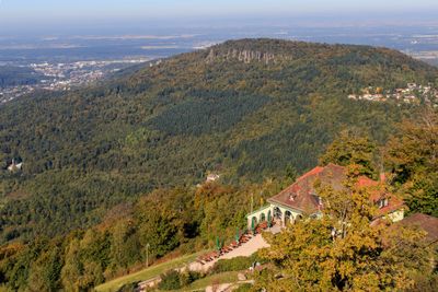
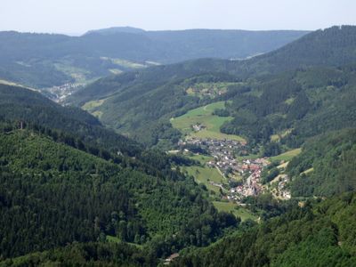
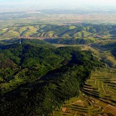
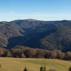
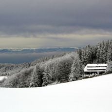
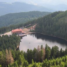
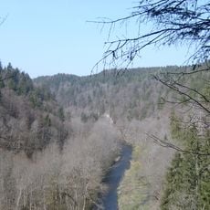
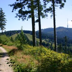
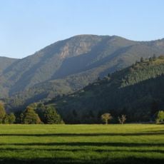
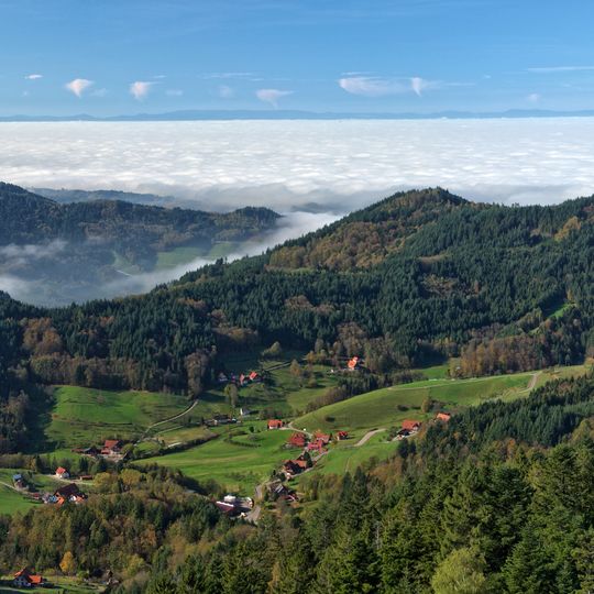
The Black Forest is an oblong forested mountain range in Baden-Württemberg, about 160 kilometres long and up to 50 kilometres wide, bounded by the Rhine Valley to the west and south and lying close to the French and Swiss borders. Its highest peak is the Feldberg at 1,493 metres. Dense coniferous woods cover rounded hills and deep valleys, with meadows and scattered farmsteads in the clearings.
During Roman times, this woodland formed a natural boundary between Germanic tribes and Roman settlements. In the Middle Ages, the first villages and monasteries appeared along old trade routes, clearing parts of the forest.
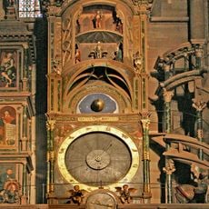
The Bollenhut worn on festive days has wool pom-poms: red for unmarried women, black for married women. The hat comes from the three Protestant villages of Gutach, Kirnbach and Hornberg-Reichenbach in the Kinzig valley, not from the whole range. Wood carving and clockmaking grew in the 18th and 19th centuries when farm work in the long winters left time for both.
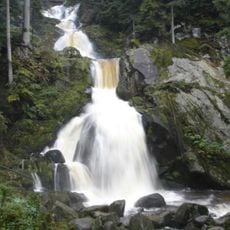
A network of marked trails covering over 15,000 miles (24,000 kilometers) connects mountain peaks, valleys, waterfalls, and traditional villages. The paths remain open year-round, though higher elevations may have snow in winter and become cross-country ski routes.
The dense evergreen coverage and dark soil made of granite, gneiss, and sandstone give the region its characteristic dark appearance. In some places, firs grow so closely that even at midday little light reaches the forest floor.
The community of curious travelers
AroundUs brings together thousands of curated places, local tips, and hidden gems, enriched daily by 92,421 contributors worldwide.