Seine, Major river in northern France
The river flows through northern France from its source in Burgundy, passing through Champagne, Île-de-France, and Normandy before reaching the English Channel, covering roughly 777 kilometers (483 miles). Its course forms an extensive network of waterways linking several regions, running through both rural areas and urban centers with Paris marking the central section along its path.
Celtic peoples began settling along the water around 250 BCE, choosing the area for its role as a trade route linking inland territories with the coast. Over the centuries, it became the primary artery for moving goods and people between interior regions and the sea, shaping the economic development of surrounding areas.
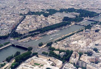
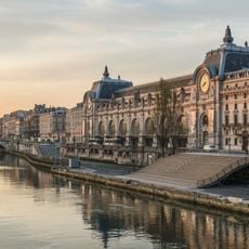
The riverbanks today serve as pedestrian promenades where locals walk, cyclists pass by, and groups gather for picnics along the water. Bridges such as the Pont Neuf and the Pont Alexandre III display contrasting designs from different centuries, each reflecting the evolving character of the city as it expanded over time.
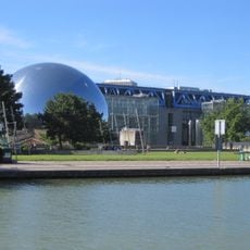
Passenger boats run regularly between multiple stops in central Paris, offering rides throughout the year, while cargo vessels navigate as far inland as Rouen. The banks are accessible on foot or by bicycle, and walking along the water allows visitors to explore the surroundings at their own pace.
Sellers known as bouquinistes display their book collections in green metal boxes fixed along the embankment walls between Pont Marie and Pont Royal. These stalls have existed for centuries and form a permanent feature of the cityscape, with each vendor maintaining their own section along the water.
The community of curious travelers
AroundUs brings together thousands of curated places, local tips, and hidden gems, enriched daily by 60,000 contributors worldwide.