Ortenau, Rural district in Baden-Württemberg, Germany.
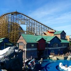
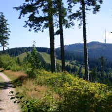
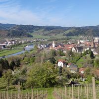
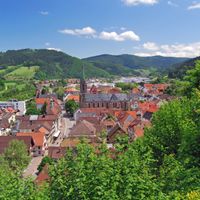
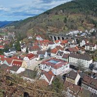
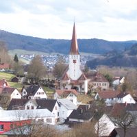
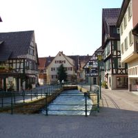
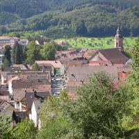
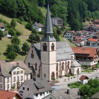
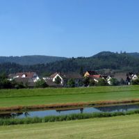
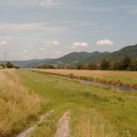
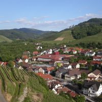
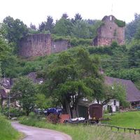
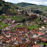
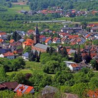
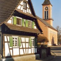
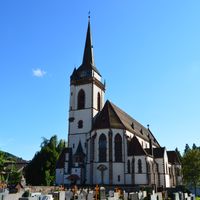
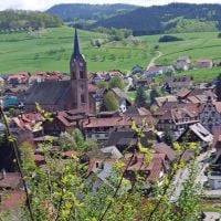
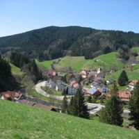
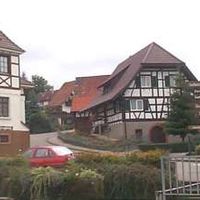
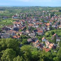
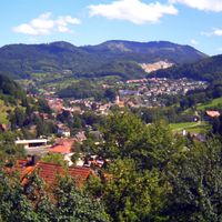
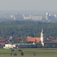
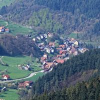
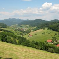
Ortenau stretches from the Upper Rhine Plain into the Black Forest and includes 51 municipalities across different terrain. The area ranges from flat floodplains along the Rhine to forested heights reaching over 1000 meters (3300 feet).
The area first appeared as Mordunouva in a document from 763 and came under the Bishops of Bamberg through King Henry II in 1007. The current administrative structure took shape after the regional reform of the 1970s, which merged several former districts.
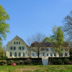
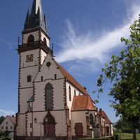
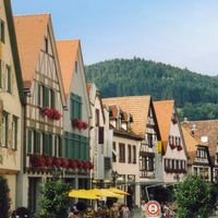
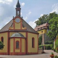
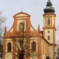
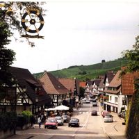
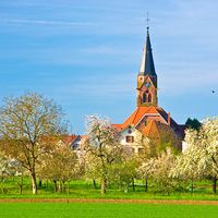
Its name comes from the medieval territory of Mortenau, which still echoes in place names and local identity. Wine cultivation shapes the landscape along the foothill zone, where small family estates tend their vines between villages and forests.
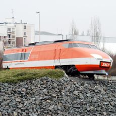
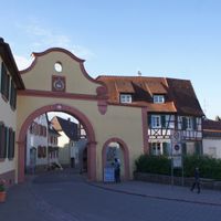
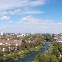
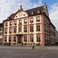
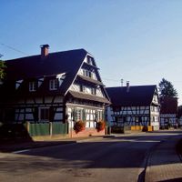
The district administration in Offenburg is well connected by federal roads and rail links. From there, secondary roads lead into individual valleys and municipalities that stretch to the French border.
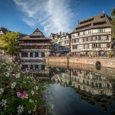
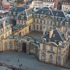
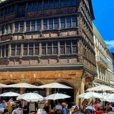
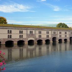
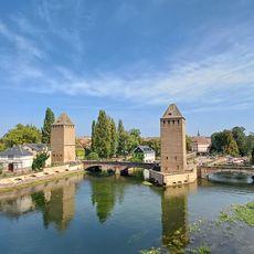
The cross-border Strasbourg-Ortenau eurodistrict links German and French municipalities into a shared administrative region. This cooperation allows residents on both sides to use everyday services across the national border.
The community of curious travelers
AroundUs brings together thousands of curated places, local tips, and hidden gems, enriched daily by 60,000 contributors worldwide.