Coffre ${chestReward.rarityLabel}
+${chestReward.xp} XP
Explorer
NOUVEAU ×${chestReward.collectible.quantity}
tapez pour fermer

Enable Location

We need your location to show you interesting places around you

Discover nearby places

Find interesting locations and hidden gems around you

Precise directions

Get accurate directions and distances to places

Your location is never shared with other users. It's only used when you tap the location button.

Log in to your account

Start exploring — it's free

Trusted by 70,268 travelers worldwide

Continue with Google
Continue with Apple
or

We will send you a code to connect

By continuing, you accept our Terms and Conditions and our Privacy Policy

Check your inbox

We've sent a pincode in your inbox. Please enter the code below.

Desaguadero
Discussion Reviews Photo
3.9k Popularity

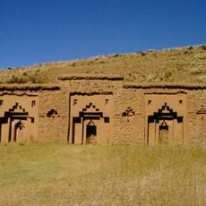
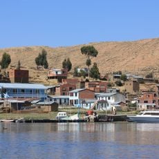
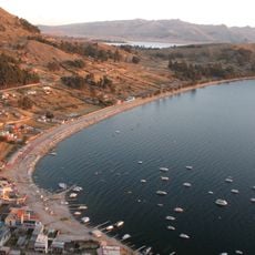
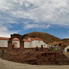
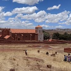
Desaguadero, Border town between Bolivia and Peru at Lake Titicaca, Bolivia

Desaguadero is a border settlement straddling the Desaguadero River at high altitude in the Andes mountains. The town sits where Bolivia and Peru meet, connected by an international bridge that allows passage between the two countries.

The settlement was established in the middle of the 1800s and became a pivotal location when telegraph lines connected it to La Paz in 1880. This early technological link made it a key communication point between the capital and the high-altitude border region.

The population includes residents from both Bolivia and Peru, creating a mixed community where the administrative functions are managed by mayors from each country.

Frequent minivans connect the town to La Paz throughout the day, and the border bridge offers straightforward passage between Bolivia and Peru. The dry season from May to October provides the most comfortable visiting conditions with better road access.

Each side of the river maintains its own local administration completely separate from the other across the border. This dual governance creates an unusual circumstance where two different time zones operate at the same location, with the Bolivian side running one hour ahead of the Peruvian side.

The community of curious travelers

AroundUs brings together thousands of curated places, local tips, and hidden gems, enriched daily by 60,000 contributors worldwide.

Start exploring
GPS coordinates
-16.56833,-69.03417
Latest update
December 11, 2025 18:04
Reviews
Share your experience

No review yet

Discussions
Start a discussion...

No discussion yet

« Desaguadero - Border town between Bolivia and Peru at Lake Titicaca, Bolivia » is provided by Around Us (aroundus.com). Images and texts are derived from Wikimedia project under a Creative Commons license. You are allowed to copy, distribute, and modify copies of this page, under the conditions set by the license, as long as this note is clearly visible.

Discover hidden gems everywhere you go!

From secret cafés to breathtaking viewpoints, skip the crowded tourist spots and find places that match your style. Our app makes it easy with voice search, smart filtering, route optimization, and insider tips from travelers worldwide. Download now for the complete mobile experience.

Around Us App Screenshot

A unique approach to discovering new places

Le Figaro

All the places worth exploring

France Info

A tailor-made excursion in just a few clicks

20 Minutes

Around Us
Travel Guide & Maps
Download

Send to your phone

QR Code
1

Open the camera app on your mobile.

2

Point at the QR code with your camera. A notification will appear.

3

Tap the notification to open the link.