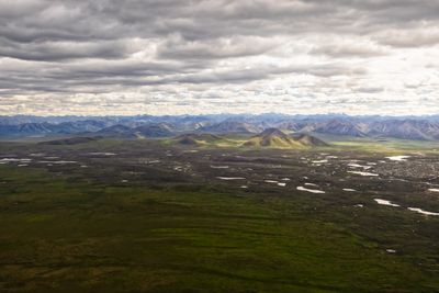
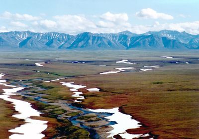
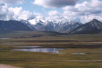
Brooks Range, Mountain range in northern Alaska and Yukon, Canada.
The Brooks Range stretches roughly 700 miles across northern Alaska into Canada's Yukon Territory, forming the northernmost section of the Rocky Mountain system. The range is crossed by the Dalton Highway through Atigun Pass at about 4,740 feet (1,450 meters), which connects Fairbanks to Prudhoe Bay.
The range was named in 1925 by the United States Board on Geographic Names to honor Alfred Hulse Brooks, chief geologist for the USGS in Alaska. The naming recognized the important geological work Brooks conducted throughout his career in this region.
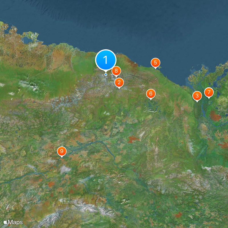
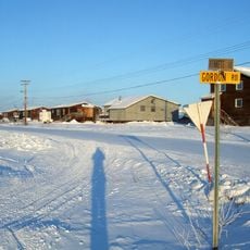
The villages of Anaktuvuk and Arctic Village maintain ways of life rooted in the land within these mountains. Visitors can see how communities have adapted to this remote environment and continue their connection to the natural world.
The best time to visit is summer when the passes are accessible and daylight is extended. You should bring well-equipped gear and basic navigation skills, as the region is very remote with few facilities.
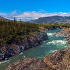
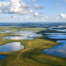
The range serves as North America's northernmost watershed divide, separating waters flowing to the Arctic Ocean from those reaching the Pacific. Mount Isto, the highest peak, shapes the profile of this far northern mountain landscape.
The community of curious travelers
AroundUs brings together thousands of curated places, local tips, and hidden gems, enriched daily by 60,000 contributors worldwide.