Grand Staircase-Escalante National Monument
Grand Staircase-Escalante National Monument, National Monument in southern Utah, United States.
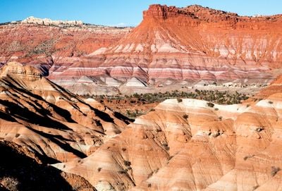
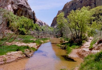
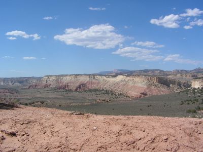
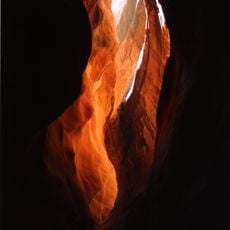
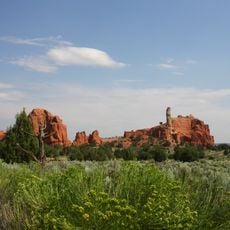
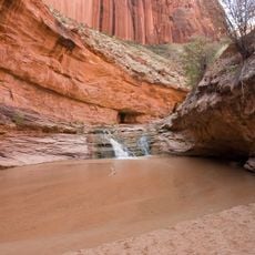
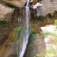
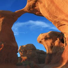
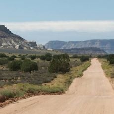
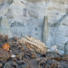
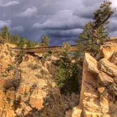
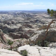
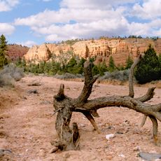
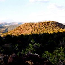
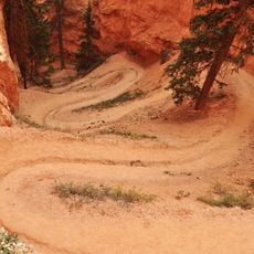
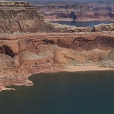
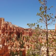
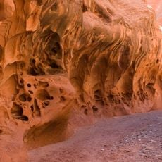
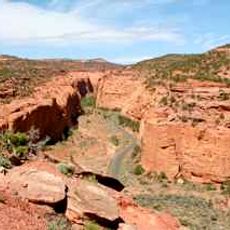
Grand Staircase-Escalante National Monument is a protected area in southern Utah covering 7700 km² (3000 square miles), divided into three large regions: Grand Staircase, Kaiparowits Plateau, and Escalante Canyons. The terrain includes a variety of desert landscapes with cliffs, mesas, and deeply carved slot canyons.
The area was designated a National Monument by President Bill Clinton in 1996, marking it as the last large part of the contiguous United States to be fully mapped. This designation preserved landscapes that had remained largely roadless for decades.
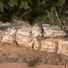
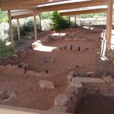
More than a dozen archaeological sites bear witness to Pueblo and Fremont groups who lived for centuries under rock overhangs and in canyon alcoves throughout these lands. Many hikers come across rock art panels and pause in the stillness of these remote areas.
Visitors need permits for overnight camping, which can be obtained at several visitor centers or at developed trailheads. The area has both primitive sites and modern campgrounds with more facilities.
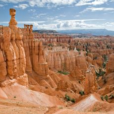
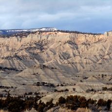
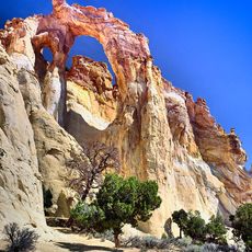
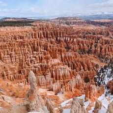
Five successive cliff layers named Pink, Grey, White, Vermillion, and Chocolate form natural geological steps that extend from Bryce Canyon down to the Grand Canyon. These rock formations developed over millions of years and show the transition between different stone layers.
Location: Kane County
Location: Garfield County
Inception: September 18, 1996
Operator: Bureau of Land Management
GPS coordinates: 37.40000,-111.68333
Latest update: December 12, 2025 18:04
The southwestern United States encompasses desert landscapes, sandstone formations and archaeological sites from several pre-Columbian cultures. The region spans Utah, Arizona, New Mexico and Colorado, featuring geological structures shaped over millions of years by wind and water erosion. National...
Bryce Canyon National Park
50.6 km
Buckskin Gulch
47.2 km
Dixie National Forest
53.3 km
Bryce Canyon National Park Visitors Center
50.6 km
Kodachrome Basin State Park
30.6 km
Coyote Gulch
62.2 km
Hayduke trail
89.9 km
Kaiparowits Formation
24.8 km
Calf Creek Falls
53.1 km
Devils Garden
31.2 km
Wire Pass Trailhead
52.1 km
Hole in the Rock Trail
38.8 km
Escalante Petrified Forest State Park
44 km
Anasazi State Park Museum
61.3 km
Pink Cliffs
52.8 km
Wahweap Formation
11.2 km
Hell's Backbone Road
64 km
Box-Death Hollow Wilderness
54.9 km
Grosvenor Arch
14.6 km
Red Canyon
68.1 km
Bald Knoll
64.7 km
Bryce Canyon National Park Scenic Trails Historic District
48.8 km
Gunsight Butte
48.6 km
Under-the-Rim Trail
47.2 km
Death Hollow
53.3 km
Burr Trail Scenic Backway
62.7 km
Bryce Canyon
47.2 km
Bryce Canyon Lodge Historic District
49.7 kmVisited this place? Tap the stars to rate it and share your experience / photos with the community! Try now! You can cancel it anytime.
Discover hidden gems everywhere you go!
From secret cafés to breathtaking viewpoints, skip the crowded tourist spots and find places that match your style. Our app makes it easy with voice search, smart filtering, route optimization, and insider tips from travelers worldwide. Download now for the complete mobile experience.
A unique approach to discovering new places❞
— Le Figaro
All the places worth exploring❞
— France Info
A tailor-made excursion in just a few clicks❞
— 20 Minutes