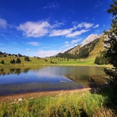
Aravis Range, Mountain range in Savoie and Haute-Savoie, France.
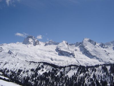
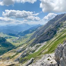
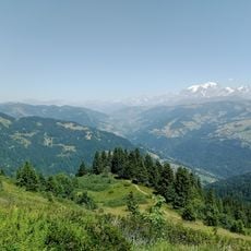
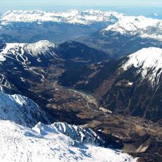
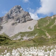
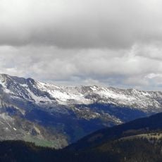
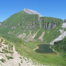
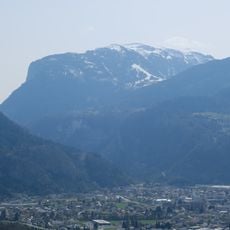
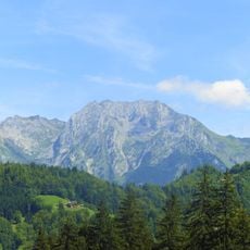
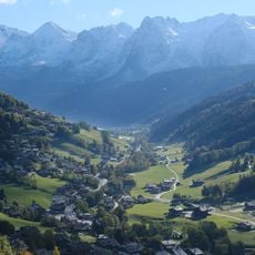
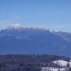
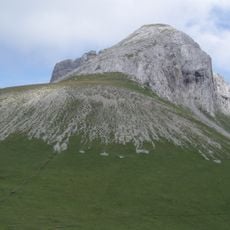
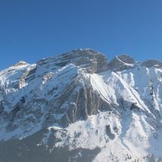
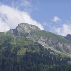
The Aravis Range is a mountain chain built from sedimentary rock that stretches roughly 37 kilometers across the two departments. Pointe Percée stands as the highest peak at 2,753 meters, and the range includes valleys, ridges, and faces that vary from steep to gentle terrain.
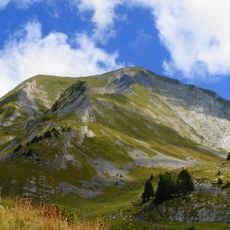
The range took its current form during the Alpine mountain-building period, when tectonic forces uplifted and folded sedimentary layers into the peaks and ridges visible today. Subsequent geological processes continued to shape the rock formations over millions of years.
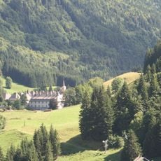
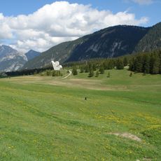
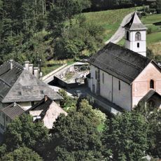
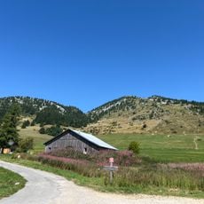
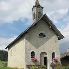
Seasonal grazing practices shape how locals use the mountain pastures, and the production of regional cheeses remains woven into daily life. Visitors can see evidence of this tradition in how villages and farms nestle into the slopes.
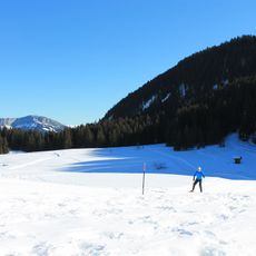
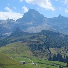
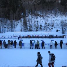
The area can be entered from several points such as La Clusaz and Le Grand-Bornand, where parking and visitor information are available. Summer through early autumn offers the best conditions for getting around, as higher elevations remain accessible during these months.
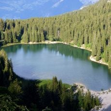
A network of limestone caves runs beneath the peaks, carved by water over time and still expanding through ongoing geological processes. Fewer visitors are aware of this underground dimension compared to the ridges and summits above.
The community of curious travelers
AroundUs brings together thousands of curated places, local tips, and hidden gems, enriched daily by 60,000 contributors worldwide.